Area Overview for UB10 0DS
Photos of UB10 0DS
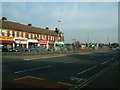
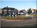
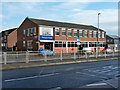
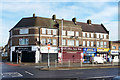
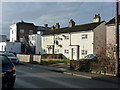
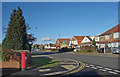
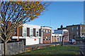
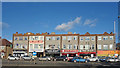
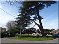
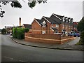
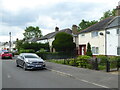
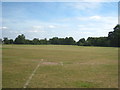
20 photos from this area
Area Information
Key information about the UB10 0DS including its size, population, and administrative classification.
- Area Type
- Postcode
- Area Size
- 1.1 hectares
- Population
- 1608
- Population Density
- 7074 people/km²
House Prices in UB10 0DS
40
Properties
£198,083
Average Sold Price
£24,000
Lowest Price
£397,000
Highest Price
Showing 40 properties
| Address | Type | Beds | Baths | Last Sale Price | Last Sale Date | |
|---|---|---|---|---|---|---|
| 19 Mayfield Close, Uxbridge, UB10 0DS | house | 2 | 1 | £390,000 | Aug 2022 | |
| 18 Mayfield Close, Uxbridge, UB10 0DS | Retail | 2 | 1 | £370,000 | Mar 2022 | |
| 39 Mayfield Close, Uxbridge, UB10 0DS | Semi-detached | 3 | 1 | £397,000 | Mar 2021 | |
| 14 Mayfield Close, Uxbridge, UB10 0DS | Terraced | 2 | - | £320,000 | Jul 2017 | |
| 27 Mayfield Close, Uxbridge, UB10 0DS | Terraced | 2 | 1 | £281,000 | Jul 2016 | |
| 32 Mayfield Close, Uxbridge, UB10 0DS | house | - | - | £270,000 | Feb 2016 | |
| 22 Mayfield Close, Uxbridge, UB10 0DS | Semi-detached | - | - | £200,000 | Feb 2014 | |
| 28 Mayfield Close, Uxbridge, UB10 0DS | house | 3 | 1 | £220,000 | Apr 2012 | |
| 26 Mayfield Close, Uxbridge, UB10 0DS | Semi-detached | - | - | £164,000 | Mar 2009 | |
| 13 Mayfield Close, Uxbridge, UB10 0DS | Terraced | 2 | 1 | £190,000 | Dec 2006 |
Page 1 of 4
Energy Efficiency in UB10 0DS
Amenities
Schools
| Rank | School | Type | Entry gender | Ages |
|---|
Explore more schools in this area
Go to Schools tabDemographics
Household Size
Family (3-5 people)
most common
Accommodation Type
Houses
most common
Tenure
42
majority
Ethnic Group
White
most common
Religion
N/A
most common
Household Composition
N/A
most common
Age
47
median
Adults (30-64 years)
most common
Household Deprivation
N/A
with no deprivation
NS-SEC
28
in Lower managerial occupations
Explore more demographic insights in this area
Go to Demographics tabPlanning
Planning Constraints
- Flood RiskPremium
- Ramsar Wetland SitesPremium
- Area of Outstanding Natural BeautyPremium
- Protected Nature ReservePremium
- Protected WoodlandPremium