Area Overview for UB1 2AX
Photos of UB1 2AX
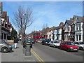
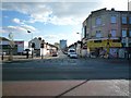
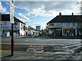
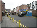
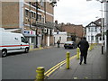
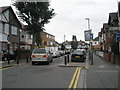
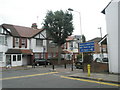
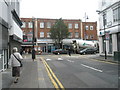
100 photos from this area
Area Information
Key information about the UB1 2AX including its size, population, and administrative classification.
- Area Type
- Postcode
- Area Size
- 5218 m²
- Population
- 2010
- Population Density
- 13302 people/km²
House Prices in UB1 2AX
48
Properties
£333,178
Average Sold Price
£86,100
Lowest Price
£500,000
Highest Price
Showing 48 properties
| Address | Type | Beds | Baths | Last Sale Price | Last Sale Date | |
|---|---|---|---|---|---|---|
| 9 Northcote Avenue, Southall, UB1 2AX | Detached | 3 | 1 | £500,000 | Nov 2025 | |
| 17 Northcote Avenue, Southall, UB1 2AX | Terraced | 3 | 2 | £482,500 | Nov 2024 | |
| 15 Northcote Avenue, Southall, UB1 2AX | Terraced | 3 | 1 | £500,000 | Dec 2023 | |
| 21 Northcote Avenue, Southall, UB1 2AX | house | 3 | - | £445,000 | Mar 2022 | |
| 23 Northcote Avenue, Southall, UB1 2AX | house | - | - | £300,000 | Oct 2017 | |
| 14 Northcote Avenue, Southall, UB1 2AX | Terraced | 4 | 1 | £245,000 | Apr 2014 | |
| 19 Northcote Avenue, Southall, UB1 2AX | house | - | - | £220,000 | Dec 2010 | |
| 12 Northcote Avenue, Southall, UB1 2AX | house | - | - | £220,000 | Aug 2006 | |
| 10 Northcote Avenue, Southall, UB1 2AX | Terraced | - | - | £86,100 | Jun 2003 | |
| 16 Northcote Avenue, Southall, UB1 2AX | house | 3 | - | - | - |
Page 1 of 5
Energy Efficiency in UB1 2AX
Amenities
Schools
| Rank | School | Type | Entry gender | Ages |
|---|
Explore more schools in this area
Go to Schools tabDemographics
Household Size
Family (3-5 people)
most common
Accommodation Type
Houses
most common
Tenure
52
majority
Ethnic Group
asian_total
most common
Religion
N/A
most common
Household Composition
N/A
most common
Age
47
median
Adults (30-64 years)
most common
Household Deprivation
N/A
with no deprivation
NS-SEC
18
in Lower managerial occupations
Explore more demographic insights in this area
Go to Demographics tabPlanning
Planning Constraints
- Flood RiskPremium
- Ramsar Wetland SitesPremium
- Area of Outstanding Natural BeautyPremium
- Protected Nature ReservePremium
- Protected WoodlandPremium