Area Overview for UB1 2AT
Photos of UB1 2AT
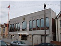
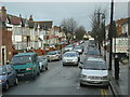
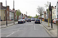
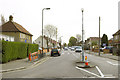
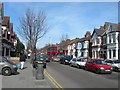
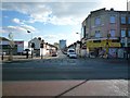
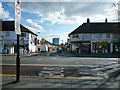
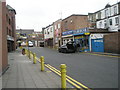
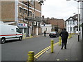
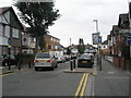
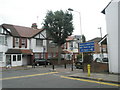
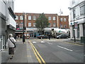
100 photos from this area
Area Information
Key information about the UB1 2AT including its size, population, and administrative classification.
- Area Type
- Postcode
- Area Size
- 5689 m²
- Population
- 1834
- Population Density
- 15451 people/km²
House Prices in UB1 2AT
24
Properties
£268,333
Average Sold Price
£52,000
Lowest Price
£456,000
Highest Price
Showing 24 properties
| Address | Type | Beds | Baths | Last Sale Price | Last Sale Date | |
|---|---|---|---|---|---|---|
| 22 Viking Road, Southall, UB1 2AT | house | 3 | 1 | £455,000 | Jun 2025 | |
| 21 Viking Road, Southall, UB1 2AT | Terraced | 3 | 1 | £456,000 | Aug 2021 | |
| 23 Viking Road, Southall, UB1 2AT | Terraced | 3 | 1 | £350,000 | Nov 2019 | |
| 7 Viking Road, Southall, UB1 2AT | Terraced | 3 | 1 | £385,000 | Apr 2018 | |
| 15 Viking Road, Southall, UB1 2AT | house | - | - | £244,000 | Jan 2011 | |
| 16 Viking Road, Southall, UB1 2AT | Terraced | - | - | £198,000 | Sep 2006 | |
| 17 Viking Road, Southall, UB1 2AT | Terraced | - | - | £184,000 | Jan 2003 | |
| 11 Viking Road, Southall, UB1 2AT | house | - | - | £91,000 | Nov 1999 | |
| 1 Viking Road, Southall, UB1 2AT | Terraced | 3 | 1 | £52,000 | Jun 1995 | |
| 19 Viking Road, Southall, UB1 2AT | Terraced | - | - | - | - |
Page 1 of 3
Energy Efficiency in UB1 2AT
Amenities
Schools
| Rank | School | Type | Entry gender | Ages |
|---|
Explore more schools in this area
Go to Schools tabDemographics
Household Size
Family (3-5 people)
most common
Accommodation Type
Houses
most common
Tenure
32
majority
Ethnic Group
asian_total
most common
Religion
N/A
most common
Household Composition
N/A
most common
Age
47
median
Adults (30-64 years)
most common
Household Deprivation
N/A
with no deprivation
NS-SEC
14
in Lower managerial occupations
Explore more demographic insights in this area
Go to Demographics tabPlanning
Planning Constraints
- Flood RiskPremium
- Ramsar Wetland SitesPremium
- Area of Outstanding Natural BeautyPremium
- Protected Nature ReservePremium
- Protected WoodlandPremium