Area Overview for UB1 1RW
Photos of UB1 1RW
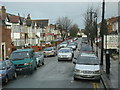
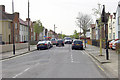
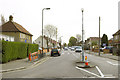
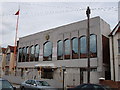
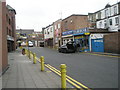
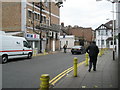
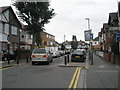
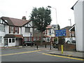
100 photos from this area
Area Information
Key information about the UB1 1RW including its size, population, and administrative classification.
- Area Type
- Postcode
- Area Size
- 1.2 hectares
- Population
- 2213
- Population Density
- 15751 people/km²
House Prices in UB1 1RW
51
Properties
£205,620
Average Sold Price
£58,000
Lowest Price
£438,500
Highest Price
Showing 51 properties
| Address | Type | Beds | Baths | Last Sale Price | Last Sale Date | |
|---|---|---|---|---|---|---|
| 112 St Josephs Drive, Southall, UB1 1RW | Semi-detached | 1 | - | £350,000 | Feb 2021 | |
| 76 St Josephs Drive, Southall, UB1 1RW | house | 3 | 2 | £438,500 | Jan 2020 | |
| 45 St Josephs Drive, Southall, UB1 1RW | Terraced | 4 | 1 | £378,000 | Sep 2017 | |
| 80 St Josephs Drive, Southall, UB1 1RW | Terraced | 3 | 1 | £140,000 | Jun 2017 | |
| 66 St Josephs Drive, Southall, UB1 1RW | house | - | - | £420,000 | May 2017 | |
| 50 St Josephs Drive, Southall, UB1 1RW | Terraced | 4 | 2 | £350,000 | Feb 2016 | |
| 56 St Josephs Drive, Southall, UB1 1RW | house | - | - | £265,000 | Oct 2007 | |
| 57 St Josephs Drive, Southall, UB1 1RW | Terraced | - | - | £250,000 | Nov 2006 | |
| 100 St Josephs Drive, Southall, UB1 1RW | Terraced | 4 | 2 | £267,000 | Apr 2006 | |
| 70 St Josephs Drive, Southall, UB1 1RW | house | - | - | £245,000 | Oct 2005 |
Page 1 of 6
Energy Efficiency in UB1 1RW
Amenities
Schools
| Rank | School | Type | Entry gender | Ages |
|---|
Explore more schools in this area
Go to Schools tabDemographics
Household Size
Family (3-5 people)
most common
Accommodation Type
Houses
most common
Tenure
60
majority
Ethnic Group
asian_total
most common
Religion
N/A
most common
Household Composition
N/A
most common
Age
47
median
Adults (30-64 years)
most common
Household Deprivation
N/A
with no deprivation
NS-SEC
17
in Lower managerial occupations
Explore more demographic insights in this area
Go to Demographics tabPlanning
Planning Constraints
- Flood RiskPremium
- Ramsar Wetland SitesPremium
- Area of Outstanding Natural BeautyPremium
- Protected Nature ReservePremium
- Protected WoodlandPremium