Area Overview for TW9 4QF
Photos of TW9 4QF
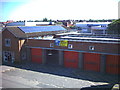
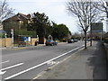
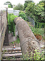
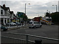
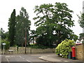
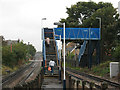
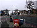
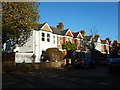
97 photos from this area
Area Information
Key information about the TW9 4QF including its size, population, and administrative classification.
- Area Type
- Postcode
- Area Size
- 1.4 hectares
- Population
- 1930
- Population Density
- 9134 people/km²
House Prices in TW9 4QF
55
Properties
£494,620
Average Sold Price
£220,000
Lowest Price
£845,000
Highest Price
Showing 55 properties
| Address | Type | Beds | Baths | Last Sale Price | Last Sale Date | |
|---|---|---|---|---|---|---|
| 22 Manor Grove, Richmond, TW9 4QF | house | - | - | £830,000 | Sep 2022 | |
| 116 Manor Grove, Richmond, TW9 4QF | house | 3 | - | £750,000 | Nov 2021 | |
| 48 Manor Grove, Richmond, TW9 4QF | Terraced | 2 | 2 | £725,000 | Aug 2021 | |
| 112 Manor Grove, Richmond, TW9 4QF | house | - | - | £810,000 | Mar 2021 | |
| 86 Manor Grove, Richmond, TW9 4QF | Terraced | 3 | 3 | £845,000 | Mar 2021 | |
| 72 Manor Grove, Richmond, TW9 4QF | house | 3 | 2 | £800,000 | Dec 2017 | |
| 14 Manor Grove, Richmond, TW9 4QF | house | 3 | - | £482,000 | May 2014 | |
| 46 Manor Grove, Richmond, TW9 4QF | Flat | - | - | £297,450 | Jan 2014 | |
| 58 Manor Grove, Richmond, TW9 4QF | Terraced | - | - | £284,950 | May 2006 | |
| 68 Manor Grove, Richmond, TW9 4QF | Terraced | 3 | 2 | £305,000 | Nov 2003 |
Page 1 of 6
Energy Efficiency in TW9 4QF
Amenities
Schools
| Rank | School | Type | Entry gender | Ages |
|---|
Explore more schools in this area
Go to Schools tabDemographics
Household Size
Family (3-5 people)
most common
Accommodation Type
Flats
most common
Tenure
48
majority
Ethnic Group
White
most common
Religion
N/A
most common
Household Composition
N/A
most common
Age
47
median
Adults (30-64 years)
most common
Household Deprivation
N/A
with no deprivation
NS-SEC
49
in Lower managerial occupations
Explore more demographic insights in this area
Go to Demographics tabPlanning
Planning Constraints
- Flood RiskPremium
- Ramsar Wetland SitesPremium
- Area of Outstanding Natural BeautyPremium
- Protected Nature ReservePremium
- Protected WoodlandPremium