Area Overview for TW8 0PL
Photos of TW8 0PL
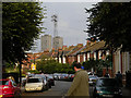
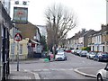
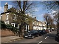
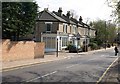
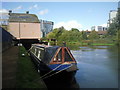
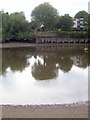
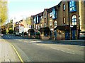
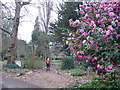
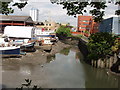
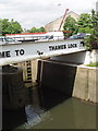
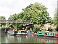
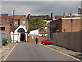
100 photos from this area
Area Information
Key information about the TW8 0PL including its size, population, and administrative classification.
- Area Type
- Postcode
- Area Size
- 1.9 hectares
- Population
- 1826
- Population Density
- 8349 people/km²
House Prices in TW8 0PL
61
Properties
£495,669
Average Sold Price
£65,000
Lowest Price
£825,000
Highest Price
Showing 61 properties
| Address | Type | Beds | Baths | Last Sale Price | Last Sale Date | |
|---|---|---|---|---|---|---|
| 22 Lateward Road, Brentford, TW8 0PL | Terraced | 3 | 1 | £800,000 | May 2024 | |
| 28 Lateward Road, Brentford, TW8 0PL | Terraced | 2 | 1 | £715,000 | Feb 2024 | |
| 19 Lateward Road, Brentford, TW8 0PL | Terraced | 3 | 2 | £770,000 | Jan 2024 | |
| 44 Lateward Road, Brentford, TW8 0PL | Terraced | 2 | 1 | £730,000 | Jan 2024 | |
| 64 Lateward Road, Brentford, TW8 0PL | Terraced | 2 | 1 | £675,000 | Oct 2023 | |
| 43 Lateward Road, Brentford, TW8 0PL | Terraced | 2 | 1 | £740,000 | May 2023 | |
| 48 Lateward Road, Brentford, TW8 0PL | house | - | - | £825,000 | Sep 2021 | |
| 25 Lateward Road, Brentford, TW8 0PL | house | - | - | £590,000 | Aug 2021 | |
| 71 Lateward Road, Brentford, TW8 0PL | house | 3 | 1 | £700,000 | Nov 2020 | |
| 31 Lateward Road, Brentford, TW8 0PL | Terraced | 2 | 1 | £612,500 | Mar 2020 |
Page 1 of 7
Energy Efficiency in TW8 0PL
Amenities
Schools
| Rank | School | Type | Entry gender | Ages |
|---|
Explore more schools in this area
Go to Schools tabDemographics
Household Size
One person
most common
Accommodation Type
Houses
most common
Tenure
56
majority
Ethnic Group
White
most common
Religion
N/A
most common
Household Composition
N/A
most common
Age
47
median
Adults (30-64 years)
most common
Household Deprivation
N/A
with no deprivation
NS-SEC
47
in Lower managerial occupations
Explore more demographic insights in this area
Go to Demographics tabPlanning
Planning Constraints
- Flood RiskPremium
- Ramsar Wetland SitesPremium
- Area of Outstanding Natural BeautyPremium
- Protected Nature ReservePremium
- Protected WoodlandPremium