Area Overview for TW7 4HU
Photos of TW7 4HU
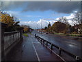
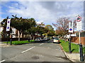
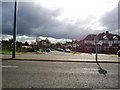
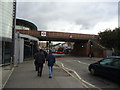
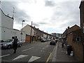
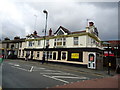
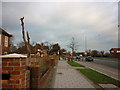
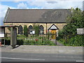
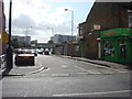
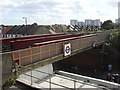
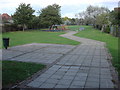
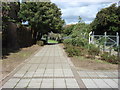
70 photos from this area
Area Information
Key information about the TW7 4HU including its size, population, and administrative classification.
- Area Type
- Postcode
- Area Size
- 7968 m²
- Population
- 2733
- Population Density
- 8456 people/km²
House Prices in TW7 4HU
17
Properties
£219,000
Average Sold Price
£50,000
Lowest Price
£505,000
Highest Price
Showing 17 properties
| Address | Type | Beds | Baths | Last Sale Price | Last Sale Date | |
|---|---|---|---|---|---|---|
| 57 Star Road, Isleworth, TW7 4HU | Semi-detached | 4 | 2 | £505,000 | Sep 2016 | |
| 50 Star Road, Isleworth, TW7 4HU | Semi-detached | 1 | 1 | £292,000 | Jan 2008 | |
| 58 Star Road, Isleworth, TW7 4HU | house | - | - | £162,000 | Dec 2003 | |
| 61 Star Road, Isleworth, TW7 4HU | house | - | - | £50,000 | Mar 1998 | |
| 54 Star Road, Isleworth, TW7 4HU | Semi-detached | - | - | £86,000 | May 1997 | |
| 49A Star Road, Isleworth, TW7 4HU | hospital_care_home | 3 | - | - | - | |
| 52 Star Road, Isleworth, TW7 4HU | Semi-detached | 3 | - | - | - | |
| 59 Star Road, Isleworth, TW7 4HU | house | - | - | - | - | |
| 53 Star Road, Isleworth, TW7 4HU | house | - | - | - | - | |
| 51 Star Road, Isleworth, TW7 4HU | house | - | - | - | - |
Page 1 of 2
Energy Efficiency in TW7 4HU
Amenities
Schools
| Rank | School | Type | Entry gender | Ages |
|---|
Explore more schools in this area
Go to Schools tabDemographics
Household Size
Family (3-5 people)
most common
Accommodation Type
Flats
most common
Tenure
45
majority
Ethnic Group
asian_total
most common
Religion
N/A
most common
Household Composition
N/A
most common
Age
47
median
Adults (30-64 years)
most common
Household Deprivation
N/A
with no deprivation
NS-SEC
30
in Lower managerial occupations
Explore more demographic insights in this area
Go to Demographics tabPlanning
Planning Constraints
- Flood RiskPremium
- Ramsar Wetland SitesPremium
- Area of Outstanding Natural BeautyPremium
- Protected Nature ReservePremium
- Protected WoodlandPremium