Area Overview for TW5 0UL
Photos of TW5 0UL
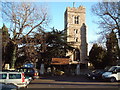
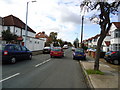
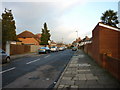
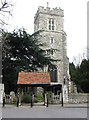
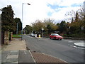
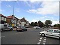
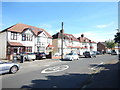
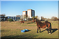

60 photos from this area
Area Information
Key information about the TW5 0UL including its size, population, and administrative classification.
- Area Type
- Postcode
- Area Size
- 16.2 hectares
- Population
- 2052
- Population Density
- 556 people/km²
House Prices in TW5 0UL
19
Properties
£258,132
Average Sold Price
£70,000
Lowest Price
£570,000
Highest Price
Showing 19 properties
| Address | Type | Beds | Baths | Last Sale Price | Last Sale Date | |
|---|---|---|---|---|---|---|
| 20 Ferraro Close, Hounslow, TW5 0UL | Terraced | 7 | 3 | £570,000 | Dec 2023 | |
| 29 Ferraro Close, Hounslow, TW5 0UL | Detached | 3 | - | £410,000 | Dec 2023 | |
| 22 Ferraro Close, Hounslow, TW5 0UL | Terraced | 4 | - | £350,000 | Dec 2023 | |
| 31 Ferraro Close, Hounslow, TW5 0UL | house | - | - | £430,000 | Nov 2021 | |
| 28 Ferraro Close, Hounslow, TW5 0UL | Terraced | 3 | 2 | £313,000 | Dec 2015 | |
| 30 Ferraro Close, Hounslow, TW5 0UL | house | 3 | 1 | £244,950 | Oct 2007 | |
| 27 Ferraro Close, Hounslow, TW5 0UL | house | - | - | £132,500 | Sep 2001 | |
| 34 Ferraro Close, Hounslow, TW5 0UL | Terraced | 3 | 1 | £120,000 | Feb 2001 | |
| 23 Ferraro Close, Hounslow, TW5 0UL | Flat | - | - | £104,000 | Oct 1999 | |
| 19 Ferraro Close, Hounslow, TW5 0UL | Flat | 7 | 3 | £95,000 | Feb 1998 |
Page 1 of 2
Energy Efficiency in TW5 0UL
Amenities
Schools
| Rank | School | Type | Entry gender | Ages |
|---|
Explore more schools in this area
Go to Schools tabDemographics
Household Size
Family (3-5 people)
most common
Accommodation Type
Houses
most common
Tenure
54
majority
Ethnic Group
asian_total
most common
Religion
N/A
most common
Household Composition
N/A
most common
Age
47
median
Adults (30-64 years)
most common
Household Deprivation
N/A
with no deprivation
NS-SEC
41
in Lower managerial occupations
Explore more demographic insights in this area
Go to Demographics tabPlanning
Planning Constraints
- Flood RiskPremium
- Ramsar Wetland SitesPremium
- Area of Outstanding Natural BeautyPremium
- Protected Nature ReservePremium
- Protected WoodlandPremium