Area Overview for TW5 0TH
Photos of TW5 0TH
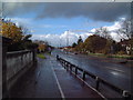
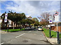
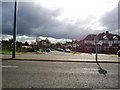

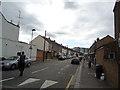
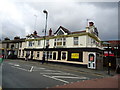
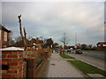
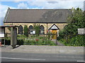
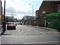
70 photos from this area
Area Information
Key information about the TW5 0TH including its size, population, and administrative classification.
- Area Type
- Postcode
- Area Size
- 1.7 hectares
- Population
- 1649
- Population Density
- 1731 people/km²
House Prices in TW5 0TH
20
Properties
£339,445
Average Sold Price
£185,000
Lowest Price
£790,000
Highest Price
Showing 20 properties
| Address | Type | Beds | Baths | Last Sale Price | Last Sale Date | |
|---|---|---|---|---|---|---|
| 578 Great West Road, Hounslow, TW5 0TH | Semi-detached | 5 | 2 | £790,000 | Jun 2023 | |
| 584 Great West Road, Hounslow, TW5 0TH | Semi-detached | 3 | 2 | £485,000 | Aug 2010 | |
| 568 Great West Road, Hounslow, TW5 0TH | house | - | - | £200,000 | Mar 2008 | |
| 558 Great West Road, Hounslow, TW5 0TH | Semi-detached | 3 | 2 | £427,000 | Jun 2006 | |
| 560 Great West Road, Hounslow, TW5 0TH | Semi-detached | 1 | 1 | £338,000 | May 2003 | |
| 596 Great West Road, Hounslow, TW5 0TH | Detached | - | - | £342,500 | Oct 2002 | |
| 574 Great West Road, Hounslow, TW5 0TH | house | - | - | £189,950 | Oct 1999 | |
| 564 Great West Road, Hounslow, TW5 0TH | house | 4 | 2 | £250,000 | Apr 1999 | |
| 594 Great West Road, Hounslow, TW5 0TH | Semi-detached | - | - | £187,000 | Jul 1998 | |
| 588 Great West Road, Hounslow, TW5 0TH | Detached | 7 | 8 | £185,000 | Nov 1995 |
Page 1 of 2
Energy Efficiency in TW5 0TH
Amenities
Schools
| Rank | School | Type | Entry gender | Ages |
|---|
Explore more schools in this area
Go to Schools tabDemographics
Household Size
Family (3-5 people)
most common
Accommodation Type
Houses
most common
Tenure
70
majority
Ethnic Group
asian_total
most common
Religion
N/A
most common
Household Composition
N/A
most common
Age
47
median
Adults (30-64 years)
most common
Household Deprivation
N/A
with no deprivation
NS-SEC
40
in Lower managerial occupations
Explore more demographic insights in this area
Go to Demographics tabPlanning
Planning Constraints
- Flood RiskPremium
- Ramsar Wetland SitesPremium
- Area of Outstanding Natural BeautyPremium
- Protected Nature ReservePremium
- Protected WoodlandPremium