Area Overview for TW4 5LQ
Photos of TW4 5LQ
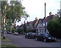
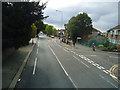
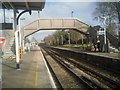
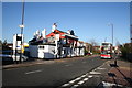
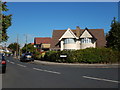
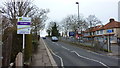
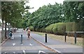
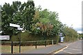
49 photos from this area
Area Information
Key information about the TW4 5LQ including its size, population, and administrative classification.
- Area Type
- Postcode
- Area Size
- 2.4 hectares
- Population
- 2161
- Population Density
- 7442 people/km²
House Prices in TW4 5LQ
26
Properties
£418,555
Average Sold Price
£128,000
Lowest Price
£735,000
Highest Price
Showing 26 properties
| Address | Type | Beds | Baths | Last Sale Price | Last Sale Date | |
|---|---|---|---|---|---|---|
| 457 Hanworth Road, Whitton, TW4 5LQ | Semi-detached | 5 | 1 | £600,000 | Oct 2025 | |
| 435 Hanworth Road, Whitton, TW4 5LQ | house | - | - | £566,000 | Sep 2023 | |
| 459 Hanworth Road, Whitton, TW4 5LQ | Semi-detached | 4 | 2 | £595,000 | Oct 2018 | |
| 455 Hanworth Road, Whitton, TW4 5LQ | Semi-detached | 5 | 4 | £735,000 | Apr 2016 | |
| 423 Hanworth Road, Whitton, TW4 5LQ | Detached | 5 | 2 | £430,000 | Jun 2014 | |
| 463 Hanworth Road, Whitton, TW4 5LQ | Detached | - | - | £320,000 | Feb 2007 | |
| 441 Hanworth Road, Whitton, TW4 5LQ | Semi-detached | - | - | £250,000 | May 2006 | |
| 453 Hanworth Road, Whitton, TW4 5LQ | house | - | - | £292,500 | Aug 2004 | |
| 433 Hanworth Road, Whitton, TW4 5LQ | Terraced | - | - | £269,050 | Dec 2003 | |
| 465 Hanworth Road, Whitton, TW4 5LQ | Semi-detached | - | - | £128,000 | Sep 1999 |
Page 1 of 3
Energy Efficiency in TW4 5LQ
Amenities
Schools
| Rank | School | Type | Entry gender | Ages |
|---|
Explore more schools in this area
Go to Schools tabDemographics
Household Size
Family (3-5 people)
most common
Accommodation Type
Flats
most common
Tenure
36
majority
Ethnic Group
White
most common
Religion
N/A
most common
Household Composition
N/A
most common
Age
47
median
Adults (30-64 years)
most common
Household Deprivation
N/A
with no deprivation
NS-SEC
24
in Lower managerial occupations
Explore more demographic insights in this area
Go to Demographics tabPlanning
Planning Constraints
- Flood RiskPremium
- Ramsar Wetland SitesPremium
- Area of Outstanding Natural BeautyPremium
- Protected Nature ReservePremium
- Protected WoodlandPremium