Area Overview for TW3 4EA
Photos of TW3 4EA

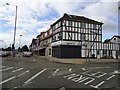
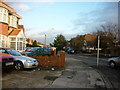
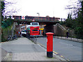
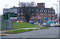

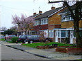
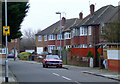
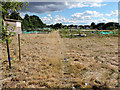
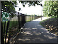
65 photos from this area
Area Information
Key information about the TW3 4EA including its size, population, and administrative classification.
- Area Type
- Postcode
- Area Size
- 5895 m²
- Population
- 2691
- Population Density
- 13191 people/km²
House Prices in TW3 4EA
23
Properties
£245,167
Average Sold Price
£68,000
Lowest Price
£499,999
Highest Price
Showing 23 properties
| Address | Type | Beds | Baths | Last Sale Price | Last Sale Date | |
|---|---|---|---|---|---|---|
| 125 Lampton Road, Hounslow, TW3 4EA | Bungalow | 2 | 1 | £499,999 | Aug 2020 | |
| 137 Lampton Road, Hounslow, TW3 4EA | Bungalow | 3 | 1 | £287,000 | Nov 2012 | |
| 127 Lampton Road, Hounslow, TW3 4EA | house | - | - | £285,000 | Mar 2008 | |
| 141 Lampton Road, Hounslow, TW3 4EA | Detached | - | - | £400,000 | Aug 2006 | |
| 139 Lampton Road, Hounslow, TW3 4EA | Bungalow | 4 | 2 | £181,000 | Nov 2000 | |
| 133 Lampton Road, Hounslow, TW3 4EA | Bungalow | 3 | 1 | £183,500 | Sep 2000 | |
| 147 Lampton Road, Hounslow, TW3 4EA | Detached | - | - | £151,000 | Sep 1999 | |
| 135 Lampton Road, Hounslow, TW3 4EA | Semi-detached | - | - | £68,000 | Aug 1996 | |
| 143 Lampton Road, Hounslow, TW3 4EA | Flat | - | 1 | £151,000 | Oct 1995 | |
| 123 Lampton Road, Hounslow, TW3 4EA | Bungalow | 3 | 1 | - | - |
Page 1 of 3
Energy Efficiency in TW3 4EA
Amenities
Schools
| Rank | School | Type | Entry gender | Ages |
|---|
Explore more schools in this area
Go to Schools tabDemographics
Household Size
Family (3-5 people)
most common
Accommodation Type
Flats
most common
Tenure
26
majority
Ethnic Group
asian_total
most common
Religion
N/A
most common
Household Composition
N/A
most common
Age
47
median
Adults (30-64 years)
most common
Household Deprivation
N/A
with no deprivation
NS-SEC
28
in Lower managerial occupations
Explore more demographic insights in this area
Go to Demographics tabPlanning
Planning Constraints
- Flood RiskPremium
- Ramsar Wetland SitesPremium
- Area of Outstanding Natural BeautyPremium
- Protected Nature ReservePremium
- Protected WoodlandPremium