Area Overview for TW3 3AG
Photos of TW3 3AG
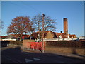
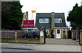
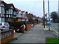
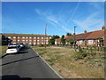
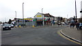
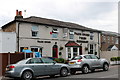
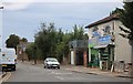
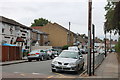
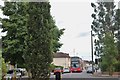
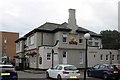
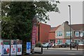
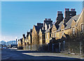
74 photos from this area
Area Information
Key information about the TW3 3AG including its size, population, and administrative classification.
- Area Type
- Postcode
- Area Size
- 1.3 hectares
- Population
- 2508
- Population Density
- 10249 people/km²
House Prices in TW3 3AG
38
Properties
£437,734
Average Sold Price
£150,000
Lowest Price
£610,000
Highest Price
Showing 38 properties
| Address | Type | Beds | Baths | Last Sale Price | Last Sale Date | |
|---|---|---|---|---|---|---|
| 98 Bulstrode Avenue, Hounslow, TW3 3AG | Semi-detached | 5 | 2 | £567,000 | May 2023 | |
| 108 Bulstrode Avenue, Hounslow, TW3 3AG | Semi-detached | 4 | 2 | £575,000 | Jan 2022 | |
| 152 Bulstrode Avenue, Hounslow, TW3 3AG | house | - | - | £570,000 | Mar 2021 | |
| 106 Bulstrode Avenue, Hounslow, TW3 3AG | house | - | - | £610,000 | Feb 2021 | |
| 164 Bulstrode Avenue, Hounslow, TW3 3AG | house | 3 | 1 | £500,000 | Jul 2020 | |
| 132 Bulstrode Avenue, Hounslow, TW3 3AG | Semi-detached | 3 | 1 | £540,000 | Apr 2019 | |
| 118 Bulstrode Avenue, Hounslow, TW3 3AG | Semi-detached | 3 | 1 | £477,500 | Nov 2017 | |
| 130 Bulstrode Avenue, Hounslow, TW3 3AG | Semi-detached | 3 | 2 | £574,117 | Nov 2017 | |
| 162A Bulstrode Avenue, Hounslow, TW3 3AG | Terraced | 5 | 3 | £485,000 | Feb 2017 | |
| 128 Bulstrode Avenue, Hounslow, TW3 3AG | Semi-detached | - | - | £363,000 | Sep 2010 |
Page 1 of 4
Energy Efficiency in TW3 3AG
Amenities
Schools
| Rank | School | Type | Entry gender | Ages |
|---|
Explore more schools in this area
Go to Schools tabDemographics
Household Size
Family (3-5 people)
most common
Accommodation Type
Flats
most common
Tenure
37
majority
Ethnic Group
asian_total
most common
Religion
N/A
most common
Household Composition
N/A
most common
Age
47
median
Adults (30-64 years)
most common
Household Deprivation
N/A
with no deprivation
NS-SEC
30
in Lower managerial occupations
Explore more demographic insights in this area
Go to Demographics tabPlanning
Planning Constraints
- Flood RiskPremium
- Ramsar Wetland SitesPremium
- Area of Outstanding Natural BeautyPremium
- Protected Nature ReservePremium
- Protected WoodlandPremium