Area Overview for TW3 2NW
Photos of TW3 2NW
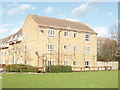
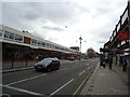
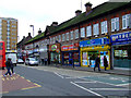
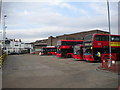
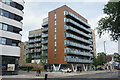
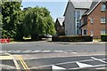

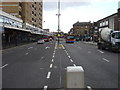
56 photos from this area
Area Information
Key information about the TW3 2NW including its size, population, and administrative classification.
- Area Type
- Postcode
- Area Size
- 5.0 hectares
- Population
- 1868
- Population Density
- 7354 people/km²
House Prices in TW3 2NW
28
Properties
£238,636
Average Sold Price
£48,000
Lowest Price
£630,000
Highest Price
Showing 28 properties
| Address | Type | Beds | Baths | Last Sale Price | Last Sale Date | |
|---|---|---|---|---|---|---|
| 126 Heath Road, Hounslow, TW3 2NW | Semi-detached | 5 | 3 | £630,000 | May 2025 | |
| 124 Heath Road, Hounslow, TW3 2NW | Semi-detached | 4 | 2 | £620,000 | Mar 2023 | |
| 130 Heath Road, Hounslow, TW3 2NW | house | - | - | £310,000 | Sep 2007 | |
| 66 Heath Road, Hounslow, TW3 2NW | house | 1 | 1 | £290,000 | Aug 2007 | |
| 50 Heath Road, Hounslow, TW3 2NW | Flat | 1 | 1 | £135,000 | Dec 2002 | |
| 58 Heath Road, Hounslow, TW3 2NW | Terraced | - | - | £60,000 | Oct 2002 | |
| 62 Heath Road, Hounslow, TW3 2NW | Semi-detached | 3 | 2 | £200,000 | Oct 2001 | |
| 70 Heath Road, Hounslow, TW3 2NW | Semi-detached | 4 | 4 | £160,000 | Apr 2001 | |
| 52 Heath Road, Hounslow, TW3 2NW | Terraced | - | - | £78,000 | Dec 1997 | |
| 48 Heath Road, Hounslow, TW3 2NW | Flat | - | - | £48,000 | Oct 1995 |
Page 1 of 3
Energy Efficiency in TW3 2NW
Amenities
Schools
| Rank | School | Type | Entry gender | Ages |
|---|
Explore more schools in this area
Go to Schools tabDemographics
Household Size
Family (3-5 people)
most common
Accommodation Type
Houses
most common
Tenure
66
majority
Ethnic Group
White
most common
Religion
N/A
most common
Household Composition
N/A
most common
Age
47
median
Adults (30-64 years)
most common
Household Deprivation
N/A
with no deprivation
NS-SEC
30
in Lower managerial occupations
Explore more demographic insights in this area
Go to Demographics tabPlanning
Planning Constraints
- Flood RiskPremium
- Ramsar Wetland SitesPremium
- Area of Outstanding Natural BeautyPremium
- Protected Nature ReservePremium
- Protected WoodlandPremium