Area Overview for TW3 1SG
Photos of TW3 1SG
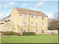
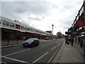
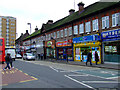
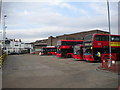
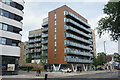
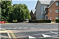
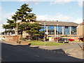
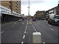
56 photos from this area
Area Information
Key information about the TW3 1SG including its size, population, and administrative classification.
- Area Type
- Postcode
- Area Size
- 7388 m²
- Population
- 2733
- Population Density
- 8456 people/km²
House Prices in TW3 1SG
32
Properties
£228,045
Average Sold Price
£79,500
Lowest Price
£540,000
Highest Price
Showing 32 properties
| Address | Type | Beds | Baths | Last Sale Price | Last Sale Date | |
|---|---|---|---|---|---|---|
| 42 Bridge Road, Hounslow, TW3 1SG | Detached | 3 | 2 | £540,000 | Mar 2025 | |
| 4 Bridge Road, Hounslow, TW3 1SG | Terraced | 3 | 1 | £295,000 | Oct 2015 | |
| 8 Bridge Road, Hounslow, TW3 1SG | house | 1 | 1 | £240,000 | Jul 2013 | |
| 36 Bridge Road, Hounslow, TW3 1SG | Terraced | 4 | 2 | £248,000 | Feb 2012 | |
| 10 Bridge Road, Hounslow, TW3 1SG | Semi-detached | 3 | 1 | £208,000 | Mar 2006 | |
| 26 Bridge Road, Hounslow, TW3 1SG | house | 2 | 2 | £197,000 | May 2005 | |
| 6 Bridge Road, Hounslow, TW3 1SG | house | - | - | £169,950 | Mar 2002 | |
| 38 Bridge Road, Hounslow, TW3 1SG | house | - | - | £154,000 | Sep 2001 | |
| 14 Bridge Road, Hounslow, TW3 1SG | Detached | - | - | £149,000 | Jan 2000 | |
| 12 Bridge Road, Hounslow, TW3 1SG | Terraced | 2 | 3 | £79,500 | Jul 1996 |
Page 1 of 4
Energy Efficiency in TW3 1SG
Amenities
Schools
| Rank | School | Type | Entry gender | Ages |
|---|
Explore more schools in this area
Go to Schools tabDemographics
Household Size
Family (3-5 people)
most common
Accommodation Type
Flats
most common
Tenure
45
majority
Ethnic Group
asian_total
most common
Religion
N/A
most common
Household Composition
N/A
most common
Age
47
median
Adults (30-64 years)
most common
Household Deprivation
N/A
with no deprivation
NS-SEC
30
in Lower managerial occupations
Explore more demographic insights in this area
Go to Demographics tabPlanning
Planning Constraints
- Flood RiskPremium
- Ramsar Wetland SitesPremium
- Area of Outstanding Natural BeautyPremium
- Protected Nature ReservePremium
- Protected WoodlandPremium