Area Overview for TW2 6EP
Photos of TW2 6EP
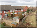
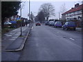
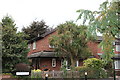
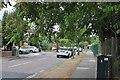
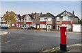
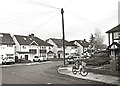
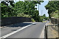
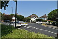
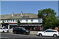
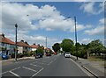
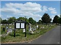
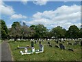
35 photos from this area
Area Information
Key information about the TW2 6EP including its size, population, and administrative classification.
- Area Type
- Postcode
- Area Size
- 1.1 hectares
- Population
- 1716
- Population Density
- 4360 people/km²
House Prices in TW2 6EP
48
Properties
£370,867
Average Sold Price
£102,000
Lowest Price
£573,000
Highest Price
Showing 48 properties
| Address | Type | Beds | Baths | Last Sale Price | Last Sale Date | |
|---|---|---|---|---|---|---|
| 6 Warburton Road, Twickenham, TW2 6EP | Detached | 2 | 1 | £445,000 | Feb 2025 | |
| 58 Warburton Road, Twickenham, TW2 6EP | Semi-detached | 2 | 1 | £500,000 | Jan 2025 | |
| 22 Warburton Road, Twickenham, TW2 6EP | Terraced | 2 | 1 | £531,000 | Jan 2024 | |
| 92 Warburton Road, Twickenham, TW2 6EP | Terraced | 3 | 1 | £437,000 | May 2023 | |
| 44 Warburton Road, Twickenham, TW2 6EP | Retail | 3 | 1 | £480,000 | Sep 2022 | |
| 18 Warburton Road, Twickenham, TW2 6EP | Terraced | 2 | 2 | £510,000 | Jul 2022 | |
| 14 Warburton Road, Twickenham, TW2 6EP | Semi-detached | 2 | 1 | £573,000 | Oct 2021 | |
| 20 Warburton Road, Twickenham, TW2 6EP | house | - | - | £455,000 | Sep 2021 | |
| 66 Warburton Road, Twickenham, TW2 6EP | Terraced | 2 | 1 | £390,000 | Aug 2019 | |
| 62 Warburton Road, Twickenham, TW2 6EP | Terraced | 2 | 1 | £245,500 | Dec 2012 |
Page 1 of 5
Energy Efficiency in TW2 6EP
Amenities
Schools
| Rank | School | Type | Entry gender | Ages |
|---|
Explore more schools in this area
Go to Schools tabDemographics
Household Size
Family (3-5 people)
most common
Accommodation Type
Houses
most common
Tenure
59
majority
Ethnic Group
White
most common
Religion
N/A
most common
Household Composition
N/A
most common
Age
47
median
Adults (30-64 years)
most common
Household Deprivation
N/A
with no deprivation
NS-SEC
38
in Lower managerial occupations
Explore more demographic insights in this area
Go to Demographics tabPlanning
Planning Constraints
- Flood RiskPremium
- Ramsar Wetland SitesPremium
- Area of Outstanding Natural BeautyPremium
- Protected Nature ReservePremium
- Protected WoodlandPremium