Area Overview for TW14 9NR
Photos of TW14 9NR

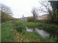
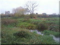
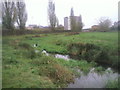
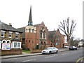

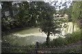
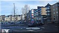
86 photos from this area
Area Information
Key information about the TW14 9NR including its size, population, and administrative classification.
- Area Type
- Postcode
- Area Size
- 4.1 hectares
- Population
- 2666
- Population Density
- 7557 people/km²
House Prices in TW14 9NR
72
Properties
£283,107
Average Sold Price
£66,250
Lowest Price
£484,000
Highest Price
Showing 72 properties
| Address | Type | Beds | Baths | Last Sale Price | Last Sale Date | |
|---|---|---|---|---|---|---|
| 42 Fruen Road, Feltham, TW14 9NR | Terraced | 2 | 1 | £484,000 | Jan 2025 | |
| 30 Fruen Road, Feltham, TW14 9NR | Terraced | 2 | 1 | £410,000 | Nov 2024 | |
| 40 Fruen Road, Feltham, TW14 9NR | Semi-detached | 3 | 1 | £460,000 | Sep 2024 | |
| 36A Fruen Road, Feltham, TW14 9NR | Maisonette | 2 | 2 | £335,000 | Feb 2022 | |
| 54 Fruen Road, Feltham, TW14 9NR | house | - | - | £460,000 | Oct 2021 | |
| 14 Fruen Road, Feltham, TW14 9NR | Terraced | 3 | 1 | £400,000 | Jun 2021 | |
| 16A Fruen Road, Feltham, TW14 9NR | house | - | - | £390,000 | Apr 2021 | |
| 94 Fruen Road, Feltham, TW14 9NR | house | 1 | 1 | £350,000 | Mar 2021 | |
| 90 Fruen Road, Feltham, TW14 9NR | Semi-detached | 3 | 1 | £392,500 | Feb 2020 | |
| 32 Fruen Road, Feltham, TW14 9NR | Cottage | 2 | 1 | £315,000 | Feb 2020 |
Page 1 of 8
Energy Efficiency in TW14 9NR
Amenities
Schools
| Rank | School | Type | Entry gender | Ages |
|---|
Explore more schools in this area
Go to Schools tabDemographics
Household Size
Family (3-5 people)
most common
Accommodation Type
Flats
most common
Tenure
42
majority
Ethnic Group
White
most common
Religion
N/A
most common
Household Composition
N/A
most common
Age
47
median
Adults (30-64 years)
most common
Household Deprivation
N/A
with no deprivation
NS-SEC
26
in Lower managerial occupations
Explore more demographic insights in this area
Go to Demographics tabPlanning
Planning Constraints
- Flood RiskPremium
- Ramsar Wetland SitesPremium
- Area of Outstanding Natural BeautyPremium
- Protected Nature ReservePremium
- Protected WoodlandPremium