Area Overview for TW14 9HU
Photos of TW14 9HU
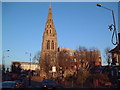
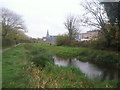
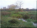
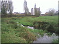
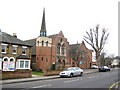

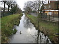
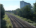

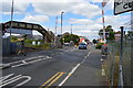
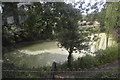
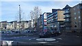
86 photos from this area
Area Information
Key information about the TW14 9HU including its size, population, and administrative classification.
- Area Type
- Postcode
- Area Size
- 2.0 hectares
- Population
- 2259
- Population Density
- 8345 people/km²
House Prices in TW14 9HU
31
Properties
£246,958
Average Sold Price
£94,500
Lowest Price
£380,000
Highest Price
Showing 31 properties
| Address | Type | Beds | Baths | Last Sale Price | Last Sale Date | |
|---|---|---|---|---|---|---|
| 53 Shakespeare Avenue, Feltham, TW14 9HU | Semi-detached | 3 | - | £380,000 | Nov 2020 | |
| 63 Shakespeare Avenue, Feltham, TW14 9HU | Semi-detached | 4 | - | £365,000 | Apr 2016 | |
| 29 Shakespeare Avenue, Feltham, TW14 9HU | house | 3 | - | £310,000 | Jan 2016 | |
| 39 Shakespeare Avenue, Feltham, TW14 9HU | Semi-detached | 3 | 1 | £292,000 | Feb 2015 | |
| 75 Shakespeare Avenue, Feltham, TW14 9HU | house | 3 | - | £237,000 | Apr 2012 | |
| 51 Shakespeare Avenue, Feltham, TW14 9HU | house | 3 | - | £250,000 | Aug 2010 | |
| 67 Shakespeare Avenue, Feltham, TW14 9HU | Semi-detached | 3 | - | £228,000 | Mar 2010 | |
| 31 Shakespeare Avenue, Feltham, TW14 9HU | Semi-detached | - | - | £240,000 | Feb 2008 | |
| 43 Shakespeare Avenue, Feltham, TW14 9HU | Semi-detached | 3 | 1 | £210,000 | Jun 2006 | |
| 65 Shakespeare Avenue, Feltham, TW14 9HU | Semi-detached | - | - | £190,000 | Nov 2005 |
Page 1 of 4
Energy Efficiency in TW14 9HU
Amenities
Schools
| Rank | School | Type | Entry gender | Ages |
|---|
Explore more schools in this area
Go to Schools tabDemographics
Household Size
Family (3-5 people)
most common
Accommodation Type
Houses
most common
Tenure
47
majority
Ethnic Group
White
most common
Religion
N/A
most common
Household Composition
N/A
most common
Age
47
median
Adults (30-64 years)
most common
Household Deprivation
N/A
with no deprivation
NS-SEC
21
in Lower managerial occupations
Explore more demographic insights in this area
Go to Demographics tabPlanning
Planning Constraints
- Flood RiskPremium
- Ramsar Wetland SitesPremium
- Area of Outstanding Natural BeautyPremium
- Protected Nature ReservePremium
- Protected WoodlandPremium