Area Overview for TW14 8SB
Photos of TW14 8SB
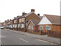
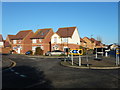
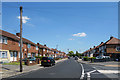
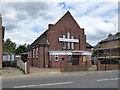
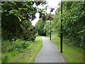
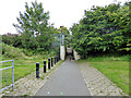
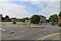
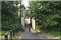
28 photos from this area
Area Information
Key information about the TW14 8SB including its size, population, and administrative classification.
- Area Type
- Postcode
- Area Size
- 1.5 hectares
- Population
- 1714
- Population Density
- 7016 people/km²
House Prices in TW14 8SB
47
Properties
£162,234
Average Sold Price
£30,000
Lowest Price
£375,000
Highest Price
Showing 47 properties
| Address | Type | Beds | Baths | Last Sale Price | Last Sale Date | |
|---|---|---|---|---|---|---|
| 37 Kilross Road, Feltham, TW14 8SB | Terraced | 2 | 2 | £375,000 | Aug 2023 | |
| 31 Kilross Road, Feltham, TW14 8SB | house | - | - | £300,000 | Jun 2021 | |
| 5 Kilross Road, Feltham, TW14 8SB | Terraced | 2 | 1 | £307,000 | May 2021 | |
| 13 Kilross Road, Feltham, TW14 8SB | Terraced | 2 | 1 | £300,000 | Apr 2021 | |
| 65 Kilross Road, Feltham, TW14 8SB | Semi-detached | 1 | 1 | £265,000 | Sep 2019 | |
| 7 Kilross Road, Feltham, TW14 8SB | house | 2 | - | £120,000 | Nov 2015 | |
| 47 Kilross Road, Feltham, TW14 8SB | Terraced | 2 | 1 | £285,500 | Sep 2015 | |
| 73 Kilross Road, Feltham, TW14 8SB | Terraced | 2 | 1 | £249,950 | Dec 2014 | |
| 29 Kilross Road, Feltham, TW14 8SB | house | - | - | £174,950 | Jun 2012 | |
| 75 Kilross Road, Feltham, TW14 8SB | Terraced | 2 | 1 | £117,000 | Jun 2012 |
Page 1 of 5
Energy Efficiency in TW14 8SB
Amenities
Schools
| Rank | School | Type | Entry gender | Ages |
|---|
Explore more schools in this area
Go to Schools tabDemographics
Household Size
Family (3-5 people)
most common
Accommodation Type
Houses
most common
Tenure
32
majority
Ethnic Group
White
most common
Religion
N/A
most common
Household Composition
N/A
most common
Age
47
median
Adults (30-64 years)
most common
Household Deprivation
N/A
with no deprivation
NS-SEC
23
in Lower managerial occupations
Explore more demographic insights in this area
Go to Demographics tabPlanning
Planning Constraints
- Flood RiskPremium
- Ramsar Wetland SitesPremium
- Area of Outstanding Natural BeautyPremium
- Protected Nature ReservePremium
- Protected WoodlandPremium