Area Overview for TW14 8AR
Photos of TW14 8AR
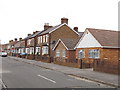
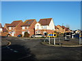
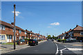
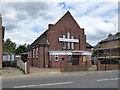
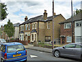
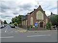
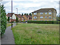
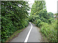
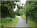
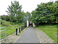
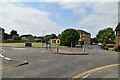
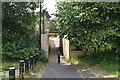
28 photos from this area
Area Information
Key information about the TW14 8AR including its size, population, and administrative classification.
- Area Type
- Postcode
- Area Size
- 6203 m²
- Population
- 2011
- Population Density
- 6032 people/km²
House Prices in TW14 8AR
12
Properties
£351,889
Average Sold Price
£197,000
Lowest Price
£490,000
Highest Price
Showing 12 properties
| Address | Type | Beds | Baths | Last Sale Price | Last Sale Date | |
|---|---|---|---|---|---|---|
| 3 Ash Grove, Feltham, TW14 8AR | Bungalow | 3 | 1 | £490,000 | Apr 2024 | |
| 4 Ash Grove, Feltham, TW14 8AR | Semi-detached | 3 | 1 | £490,000 | Mar 2023 | |
| 9 Ash Grove, Feltham, TW14 8AR | Bungalow | - | - | £445,000 | Jun 2021 | |
| 6 Ash Grove, Feltham, TW14 8AR | Semi-detached | 2 | 2 | £435,000 | Mar 2017 | |
| 1 Ash Grove, Feltham, TW14 8AR | Semi-detached | 2 | 1 | £415,000 | Jan 2017 | |
| 7 Ash Grove, Feltham, TW14 8AR | Semi-detached | 2 | 1 | £245,000 | Aug 2011 | |
| 12 Ash Grove, Feltham, TW14 8AR | Bungalow | 2 | - | £235,000 | Aug 2010 | |
| 8 Ash Grove, Feltham, TW14 8AR | Terraced | - | - | £215,000 | May 2005 | |
| 11 Ash Grove, Feltham, TW14 8AR | Bungalow | 2 | 1 | £197,000 | Sep 2002 | |
| 5 Ash Grove, Feltham, TW14 8AR | Semi-detached | - | - | - | - |
Page 1 of 2
Energy Efficiency in TW14 8AR
Amenities
Schools
| Rank | School | Type | Entry gender | Ages |
|---|
Explore more schools in this area
Go to Schools tabDemographics
Household Size
Family (3-5 people)
most common
Accommodation Type
Houses
most common
Tenure
56
majority
Ethnic Group
White
most common
Religion
N/A
most common
Household Composition
N/A
most common
Age
47
median
Adults (30-64 years)
most common
Household Deprivation
N/A
with no deprivation
NS-SEC
22
in Lower managerial occupations
Explore more demographic insights in this area
Go to Demographics tabPlanning
Planning Constraints
- Flood RiskPremium
- Ramsar Wetland SitesPremium
- Area of Outstanding Natural BeautyPremium
- Protected Nature ReservePremium
- Protected WoodlandPremium