Area Overview for TW14 0BQ
Photos of TW14 0BQ
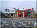
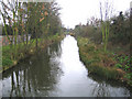
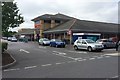
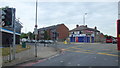

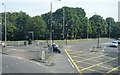
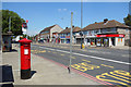
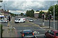
47 photos from this area
Area Information
Key information about the TW14 0BQ including its size, population, and administrative classification.
- Area Type
- Postcode
- Area Size
- 1.6 hectares
- Population
- 2151
- Population Density
- 1248 people/km²
House Prices in TW14 0BQ
56
Properties
£200,488
Average Sold Price
£45,000
Lowest Price
£375,600
Highest Price
Showing 56 properties
| Address | Type | Beds | Baths | Last Sale Price | Last Sale Date | |
|---|---|---|---|---|---|---|
| 133 Field Road, Feltham, TW14 0BQ | Maisonette | 2 | 1 | £305,000 | May 2024 | |
| 233 Field Road, Feltham, TW14 0BQ | Flat | - | - | £225,000 | May 2024 | |
| 171 Field Road, Feltham, TW14 0BQ | Terraced | 2 | 1 | £375,600 | Apr 2024 | |
| 143 Field Road, Feltham, TW14 0BQ | Maisonette | 2 | 1 | £295,000 | Aug 2023 | |
| 209 Field Road, Feltham, TW14 0BQ | Flat | - | - | £285,000 | Mar 2023 | |
| 125 Field Road, Feltham, TW14 0BQ | Bungalow | - | - | £370,000 | Jun 2019 | |
| 215 Field Road, Feltham, TW14 0BQ | Flat | - | - | £245,125 | May 2019 | |
| 137 Field Road, Feltham, TW14 0BQ | Maisonette | 2 | 1 | £243,500 | Jan 2019 | |
| 129 Field Road, Feltham, TW14 0BQ | Maisonette | - | - | £275,000 | Feb 2017 | |
| 203 Field Road, Feltham, TW14 0BQ | Flat | - | - | £205,000 | Mar 2015 |
Page 1 of 6
Energy Efficiency in TW14 0BQ
Amenities
Schools
| Rank | School | Type | Entry gender | Ages |
|---|
Explore more schools in this area
Go to Schools tabDemographics
Household Size
Family (3-5 people)
most common
Accommodation Type
Houses
most common
Tenure
47
majority
Ethnic Group
White
most common
Religion
N/A
most common
Household Composition
N/A
most common
Age
47
median
Adults (30-64 years)
most common
Household Deprivation
N/A
with no deprivation
NS-SEC
21
in Lower managerial occupations
Explore more demographic insights in this area
Go to Demographics tabPlanning
Planning Constraints
- Flood RiskPremium
- Ramsar Wetland SitesPremium
- Area of Outstanding Natural BeautyPremium
- Protected Nature ReservePremium
- Protected WoodlandPremium