Area Overview for TW13 5PB
Photos of TW13 5PB
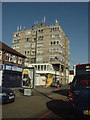
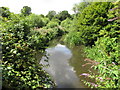
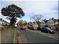
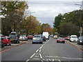
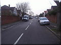
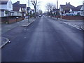
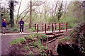
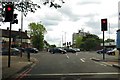
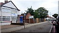
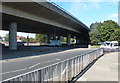
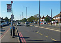
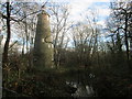
65 photos from this area
Area Information
Key information about the TW13 5PB including its size, population, and administrative classification.
- Area Type
- Postcode
- Area Size
- 1.9 hectares
- Population
- 2354
- Population Density
- 7173 people/km²
House Prices in TW13 5PB
38
Properties
£291,782
Average Sold Price
£98,000
Lowest Price
£580,000
Highest Price
Showing 38 properties
| Address | Type | Beds | Baths | Last Sale Price | Last Sale Date | |
|---|---|---|---|---|---|---|
| 13 Churchfields Avenue, Feltham, TW13 5PB | house | - | - | £430,000 | Oct 2024 | |
| 9 Churchfields Avenue, Feltham, TW13 5PB | Flat | - | - | £330,000 | Mar 2023 | |
| 19 Churchfields Avenue, Feltham, TW13 5PB | house | - | - | £580,000 | Jun 2022 | |
| 7 Churchfields Avenue, Feltham, TW13 5PB | Semi-detached | 3 | 2 | £450,000 | Feb 2022 | |
| 8 Churchfields Avenue, Feltham, TW13 5PB | house | - | - | £375,000 | Dec 2021 | |
| 10 Churchfields Avenue, Feltham, TW13 5PB | Maisonette | 2 | 1 | £310,000 | Sep 2016 | |
| 23 Churchfields Avenue, Feltham, TW13 5PB | house | 2 | - | £352,000 | Sep 2016 | |
| 21 Churchfields Avenue, Feltham, TW13 5PB | Flat | 2 | 1 | £225,000 | Jul 2015 | |
| 6 Churchfields Avenue, Feltham, TW13 5PB | Semi-detached | 3 | 1 | £184,950 | Jun 2013 | |
| 2 Churchfields Avenue, Feltham, TW13 5PB | house | 5 | - | £250,000 | Jun 2012 |
Page 1 of 4
Energy Efficiency in TW13 5PB
Amenities
Schools
| Rank | School | Type | Entry gender | Ages |
|---|
Explore more schools in this area
Go to Schools tabDemographics
Household Size
Family (3-5 people)
most common
Accommodation Type
Houses
most common
Tenure
45
majority
Ethnic Group
White
most common
Religion
N/A
most common
Household Composition
N/A
most common
Age
47
median
Adults (30-64 years)
most common
Household Deprivation
N/A
with no deprivation
NS-SEC
22
in Lower managerial occupations
Explore more demographic insights in this area
Go to Demographics tabPlanning
Planning Constraints
- Flood RiskPremium
- Ramsar Wetland SitesPremium
- Area of Outstanding Natural BeautyPremium
- Protected Nature ReservePremium
- Protected WoodlandPremium