Area Overview for TW13 4TH
Photos of TW13 4TH
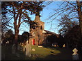
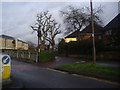
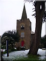
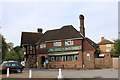
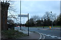
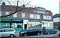
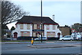
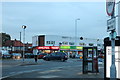
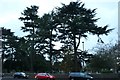
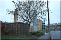
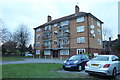
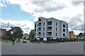
41 photos from this area
Area Information
Key information about the TW13 4TH including its size, population, and administrative classification.
- Area Type
- Postcode
- Area Size
- 5285 m²
- Population
- 2143
- Population Density
- 4645 people/km²
House Prices in TW13 4TH
44
Properties
£151,773
Average Sold Price
£51,000
Lowest Price
£250,000
Highest Price
Showing 44 properties
| Address | Type | Beds | Baths | Last Sale Price | Last Sale Date | |
|---|---|---|---|---|---|---|
| 274 Redford Close, Feltham, TW13 4TH | Flat | - | - | £220,000 | Sep 2024 | |
| 298 Redford Close, Feltham, TW13 4TH | Flat | 1 | 1 | £243,000 | Sep 2023 | |
| 286 Redford Close, Feltham, TW13 4TH | Flat | 2 | 1 | £200,000 | Sep 2022 | |
| 289 Redford Close, Feltham, TW13 4TH | Flat | - | - | £195,000 | May 2022 | |
| 285 Redford Close, Feltham, TW13 4TH | Flat | - | - | £170,000 | Nov 2021 | |
| 294 Redford Close, Feltham, TW13 4TH | Flat | - | - | £250,000 | Jul 2021 | |
| 304 Redford Close, Feltham, TW13 4TH | Flat | 2 | 1 | £229,500 | Sep 2019 | |
| 306 Redford Close, Feltham, TW13 4TH | Flat | - | - | £170,000 | Jun 2019 | |
| 277 Redford Close, Feltham, TW13 4TH | Flat | - | - | £240,000 | Jul 2018 | |
| 269 Redford Close, Feltham, TW13 4TH | Flat | - | - | £200,000 | Oct 2017 |
Page 1 of 5
Energy Efficiency in TW13 4TH
Amenities
Schools
| Rank | School | Type | Entry gender | Ages |
|---|
Explore more schools in this area
Go to Schools tabDemographics
Household Size
Family (3-5 people)
most common
Accommodation Type
Flats
most common
Tenure
45
majority
Ethnic Group
White
most common
Religion
N/A
most common
Household Composition
N/A
most common
Age
47
median
Adults (30-64 years)
most common
Household Deprivation
N/A
with no deprivation
NS-SEC
23
in Lower managerial occupations
Explore more demographic insights in this area
Go to Demographics tabPlanning
Planning Constraints
- Flood RiskPremium
- Ramsar Wetland SitesPremium
- Area of Outstanding Natural BeautyPremium
- Protected Nature ReservePremium
- Protected WoodlandPremium