Area Overview for TW13 4JP
Photos of TW13 4JP
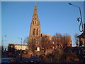
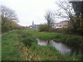
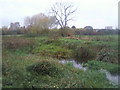
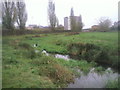
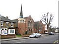
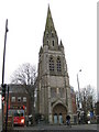
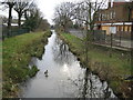
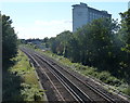
86 photos from this area
Area Information
Key information about the TW13 4JP including its size, population, and administrative classification.
- Area Type
- Postcode
- Area Size
- 1.7 hectares
- Population
- 1579
- Population Density
- 8652 people/km²
House Prices in TW13 4JP
41
Properties
£255,668
Average Sold Price
£62,500
Lowest Price
£480,557
Highest Price
Showing 41 properties
| Address | Type | Beds | Baths | Last Sale Price | Last Sale Date | |
|---|---|---|---|---|---|---|
| 104 Hanover Avenue, Feltham, TW13 4JP | Terraced | 2 | 1 | £428,000 | Aug 2024 | |
| 64 Hanover Avenue, Feltham, TW13 4JP | Terraced | 4 | 2 | £360,000 | Sep 2022 | |
| 78 Hanover Avenue, Feltham, TW13 4JP | house | - | - | £480,557 | Apr 2021 | |
| 96 Hanover Avenue, Feltham, TW13 4JP | Terraced | 2 | - | £341,250 | Mar 2021 | |
| 62 Hanover Avenue, Feltham, TW13 4JP | house | - | - | £480,557 | Jan 2021 | |
| 112 Hanover Avenue, Feltham, TW13 4JP | Terraced | 2 | 1 | £330,000 | Dec 2020 | |
| 116 Hanover Avenue, Feltham, TW13 4JP | Terraced | 2 | - | £355,000 | Jun 2020 | |
| 88 Hanover Avenue, Feltham, TW13 4JP | house | 2 | 2 | £315,000 | Dec 2016 | |
| 70 Hanover Avenue, Feltham, TW13 4JP | Terraced | 4 | 2 | £400,000 | Jun 2016 | |
| Brook Cottage, 110A Hanover Avenue, Feltham, TW13 4JP | Bungalow | 2 | - | £326,000 | Jun 2015 |
Page 1 of 5
Energy Efficiency in TW13 4JP
Amenities
Schools
| Rank | School | Type | Entry gender | Ages |
|---|
Explore more schools in this area
Go to Schools tabDemographics
Household Size
Family (3-5 people)
most common
Accommodation Type
Houses
most common
Tenure
57
majority
Ethnic Group
White
most common
Religion
N/A
most common
Household Composition
N/A
most common
Age
47
median
Adults (30-64 years)
most common
Household Deprivation
N/A
with no deprivation
NS-SEC
23
in Lower managerial occupations
Explore more demographic insights in this area
Go to Demographics tabPlanning
Planning Constraints
- Flood RiskPremium
- Ramsar Wetland SitesPremium
- Area of Outstanding Natural BeautyPremium
- Protected Nature ReservePremium
- Protected WoodlandPremium