Area Overview for TW12 2EG
Photos of TW12 2EG

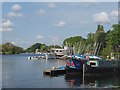
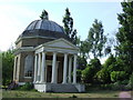
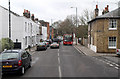
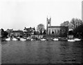
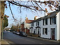
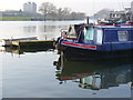
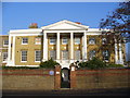
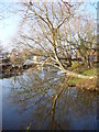
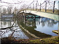
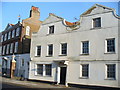
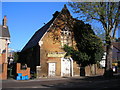
100 photos from this area
Area Information
Key information about the TW12 2EG including its size, population, and administrative classification.
- Area Type
- Postcode
- Area Size
- 8395 m²
- Population
- 1702
- Population Density
- 397 people/km²
House Prices in TW12 2EG
27
Properties
£921,167
Average Sold Price
£260,000
Lowest Price
£2,685,000
Highest Price
Showing 27 properties
| Address | Type | Beds | Baths | Last Sale Price | Last Sale Date | |
|---|---|---|---|---|---|---|
| 40 Church Street, Hampton, TW12 2EG | Terraced | 2 | 1 | £570,000 | May 2025 | |
| 38 Church Street, Hampton, TW12 2EG | Terraced | 3 | 1 | £453,000 | Apr 2023 | |
| 22 Church Street, Hampton, TW12 2EG | Flat | - | - | £284,000 | Mar 2022 | |
| 6 Church Street, Hampton, TW12 2EG | Terraced | 7 | 3 | £1,750,000 | Mar 2021 | |
| Orme House, 4 Church Street, Hampton, TW12 2EG | house | 6 | 3 | £2,685,000 | Mar 2021 | |
| Rosemary House, 16 Church Street, Hampton, TW12 2EG | Semi-detached | 7 | 3 | £2,050,000 | Aug 2020 | |
| 32 Church Street, Hampton, TW12 2EG | house | 3 | - | £985,000 | Aug 2017 | |
| Garrick Cottage, Church Street, Hampton, TW12 2EG | Detached | 2 | 2 | £425,000 | Aug 2011 | |
| 34 Church Street, Hampton, TW12 2EG | house | - | - | £260,000 | Jun 2009 | |
| 8 Church Street, Hampton, TW12 2EG | Semi-detached | 3 | 2 | £625,000 | Jul 2006 |
Page 1 of 3
Energy Efficiency in TW12 2EG
Amenities
Schools
| Rank | School | Type | Entry gender | Ages |
|---|
Explore more schools in this area
Go to Schools tabDemographics
Household Size
Two person
most common
Accommodation Type
Houses
most common
Tenure
72
majority
Ethnic Group
White
most common
Religion
N/A
most common
Household Composition
N/A
most common
Age
47
median
Adults (30-64 years)
most common
Household Deprivation
N/A
with no deprivation
NS-SEC
57
in Lower managerial occupations
Explore more demographic insights in this area
Go to Demographics tabPlanning
Planning Constraints
- Flood RiskPremium
- Ramsar Wetland SitesPremium
- Area of Outstanding Natural BeautyPremium
- Protected Nature ReservePremium
- Protected WoodlandPremium