Area Overview for TW12 2BT
Photos of TW12 2BT
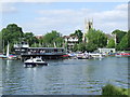

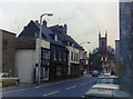
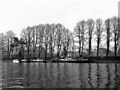
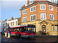
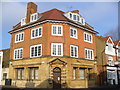
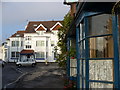
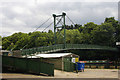
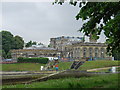
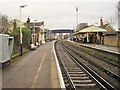
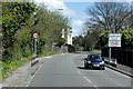

100 photos from this area
Area Information
Key information about the TW12 2BT including its size, population, and administrative classification.
- Area Type
- Postcode
- Area Size
- 4545 m²
- Population
- 1934
- Population Density
- 4247 people/km²
House Prices in TW12 2BT
27
Properties
£443,850
Average Sold Price
£165,000
Lowest Price
£712,000
Highest Price
Showing 27 properties
| Address | Type | Beds | Baths | Last Sale Price | Last Sale Date | |
|---|---|---|---|---|---|---|
| 33 Station Road, Hampton, TW12 2BT | Terraced | 2 | 1 | £540,000 | Aug 2024 | |
| 55 Station Road, Hampton, TW12 2BT | Terraced | 3 | - | £712,000 | Oct 2022 | |
| 71 Station Road, Hampton, TW12 2BT | house | 2 | 1 | £470,000 | Sep 2022 | |
| 41 Station Road, Hampton, TW12 2BT | house | 2 | - | £500,000 | Sep 2021 | |
| 37 Station Road, Hampton, TW12 2BT | house | - | - | £510,000 | Aug 2021 | |
| 63 Station Road, Hampton, TW12 2BT | Terraced | 3 | - | £640,000 | Jun 2016 | |
| 39 Station Road, Hampton, TW12 2BT | Terraced | 2 | - | £463,200 | Jun 2016 | |
| 59 Station Road, Hampton, TW12 2BT | house | 3 | - | £421,000 | Feb 2013 | |
| 35 Station Road, Hampton, TW12 2BT | house | 2 | 1 | £305,000 | Mar 2012 | |
| 53 Station Road, Hampton, TW12 2BT | Terraced | - | - | £435,000 | Jun 2007 |
Page 1 of 3
Energy Efficiency in TW12 2BT
Amenities
Schools
| Rank | School | Type | Entry gender | Ages |
|---|
Explore more schools in this area
Go to Schools tabDemographics
Household Size
One person
most common
Accommodation Type
Houses
most common
Tenure
58
majority
Ethnic Group
White
most common
Religion
N/A
most common
Household Composition
N/A
most common
Age
47
median
Adults (30-64 years)
most common
Household Deprivation
N/A
with no deprivation
NS-SEC
50
in Lower managerial occupations
Explore more demographic insights in this area
Go to Demographics tabPlanning
Planning Constraints
- Flood RiskPremium
- Ramsar Wetland SitesPremium
- Area of Outstanding Natural BeautyPremium
- Protected Nature ReservePremium
- Protected WoodlandPremium