Area Overview for TW12 1NU
Photos of TW12 1NU
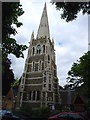
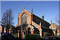
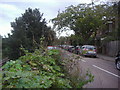
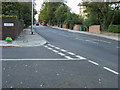
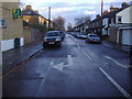
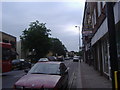
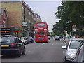
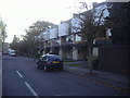
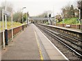
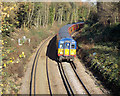
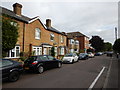
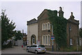
89 photos from this area
Area Information
Key information about the TW12 1NU including its size, population, and administrative classification.
- Area Type
- Postcode
- Area Size
- 6950 m²
- Population
- 1786
- Population Density
- 4204 people/km²
House Prices in TW12 1NU
19
Properties
£450,133
Average Sold Price
£178,000
Lowest Price
£740,000
Highest Price
Showing 19 properties
| Address | Type | Beds | Baths | Last Sale Price | Last Sale Date | |
|---|---|---|---|---|---|---|
| 6 Parkside, Hampton Hill, TW12 1NU | Terraced | 3 | 1 | £650,000 | Nov 2024 | |
| 8 Parkside, Hampton Hill, TW12 1NU | Terraced | 3 | 1 | £637,000 | Jul 2024 | |
| 18 Parkside, Hampton Hill, TW12 1NU | house | 4 | 2 | £740,000 | Jan 2021 | |
| 14 Parkside, Hampton Hill, TW12 1NU | Terraced | 3 | 2 | £545,000 | Aug 2019 | |
| 32 Parkside, Hampton Hill, TW12 1NU | house | 3 | 1 | £602,000 | Jul 2018 | |
| 28 Parkside, Hampton Hill, TW12 1NU | Terraced | 3 | 1 | £620,000 | Oct 2017 | |
| 16 Parkside, Hampton Hill, TW12 1NU | house | 3 | - | £622,000 | May 2016 | |
| 2 Parkside, Hampton Hill, TW12 1NU | Terraced | 3 | 1 | £320,000 | Dec 2012 | |
| 10 Parkside, Hampton Hill, TW12 1NU | house | - | - | £320,000 | Sep 2011 | |
| 3 Parkside, Hampton Hill, TW12 1NU | Detached | - | - | £390,000 | Jul 2005 |
Page 1 of 2
Energy Efficiency in TW12 1NU
Amenities
Schools
| Rank | School | Type | Entry gender | Ages |
|---|
Explore more schools in this area
Go to Schools tabDemographics
Household Size
One person
most common
Accommodation Type
Flats
most common
Tenure
68
majority
Ethnic Group
White
most common
Religion
N/A
most common
Household Composition
N/A
most common
Age
47
median
Adults (30-64 years)
most common
Household Deprivation
N/A
with no deprivation
NS-SEC
54
in Lower managerial occupations
Explore more demographic insights in this area
Go to Demographics tabPlanning
Planning Constraints
- Flood RiskPremium
- Ramsar Wetland SitesPremium
- Area of Outstanding Natural BeautyPremium
- Protected Nature ReservePremium
- Protected WoodlandPremium