Area Overview for TW12 1AL
Photos of TW12 1AL
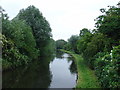
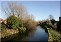
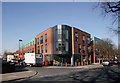
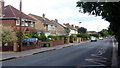
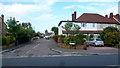
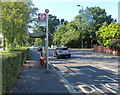
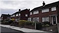
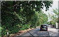
38 photos from this area
Area Information
Key information about the TW12 1AL including its size, population, and administrative classification.
- Area Type
- Postcode
- Area Size
- 1.4 hectares
- Population
- 1690
- Population Density
- 4225 people/km²
House Prices in TW12 1AL
32
Properties
£362,453
Average Sold Price
£81,000
Lowest Price
£610,000
Highest Price
Showing 32 properties
| Address | Type | Beds | Baths | Last Sale Price | Last Sale Date | |
|---|---|---|---|---|---|---|
| 39 Winifred Road, Hampton Hill, TW12 1AL | Terraced | 4 | 2 | £560,000 | Jan 2025 | |
| 10 Winifred Road, Hampton Hill, TW12 1AL | Terraced | 3 | 1 | £510,000 | Mar 2024 | |
| 35 Winifred Road, Hampton Hill, TW12 1AL | Terraced | 3 | 1 | £500,000 | Sep 2022 | |
| 21 Winifred Road, Hampton Hill, TW12 1AL | house | - | - | £500,000 | Jun 2021 | |
| 19 Winifred Road, Hampton Hill, TW12 1AL | house | - | - | £480,000 | Apr 2021 | |
| 4 Winifred Road, Hampton Hill, TW12 1AL | Terraced | 3 | 2 | £465,000 | Jun 2019 | |
| 31 Winifred Road, Hampton Hill, TW12 1AL | house | 3 | 1 | £610,000 | Aug 2016 | |
| 7 Winifred Road, Hampton Hill, TW12 1AL | house | 3 | - | £380,950 | Jan 2014 | |
| 12 Winifred Road, Hampton Hill, TW12 1AL | Terraced | 3 | 1 | £299,950 | Mar 2010 | |
| 24 Winifred Road, Hampton Hill, TW12 1AL | Terraced | 3 | 1 | £275,000 | Nov 2009 |
Page 1 of 4
Energy Efficiency in TW12 1AL
Amenities
Schools
| Rank | School | Type | Entry gender | Ages |
|---|
Explore more schools in this area
Go to Schools tabDemographics
Household Size
Family (3-5 people)
most common
Accommodation Type
Houses
most common
Tenure
48
majority
Ethnic Group
White
most common
Religion
N/A
most common
Household Composition
N/A
most common
Age
47
median
Adults (30-64 years)
most common
Household Deprivation
N/A
with no deprivation
NS-SEC
34
in Lower managerial occupations
Explore more demographic insights in this area
Go to Demographics tabPlanning
Planning Constraints
- Flood RiskPremium
- Ramsar Wetland SitesPremium
- Area of Outstanding Natural BeautyPremium
- Protected Nature ReservePremium
- Protected WoodlandPremium