Area Overview for TW10 6EL
Photos of TW10 6EL
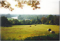
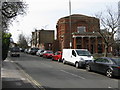
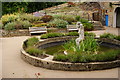
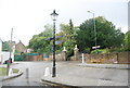
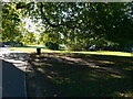
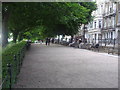
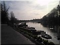
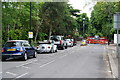
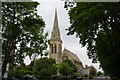
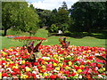
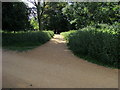
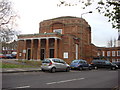
100 photos from this area
Area Information
Key information about the TW10 6EL including its size, population, and administrative classification.
- Area Type
- Postcode
- Area Size
- 1.2 hectares
- Population
- 1675
- Population Density
- 3282 people/km²
House Prices in TW10 6EL
16
Properties
£2,073,661
Average Sold Price
£550,000
Lowest Price
£5,200,000
Highest Price
Showing 16 properties
| Address | Type | Beds | Baths | Last Sale Price | Last Sale Date | |
|---|---|---|---|---|---|---|
| 27 Denbigh Gardens, Richmond, TW10 6EL | Detached | 5 | 3 | £5,200,000 | Aug 2025 | |
| 29 Denbigh Gardens, Richmond, TW10 6EL | house | 5 | - | £4,900,000 | Oct 2021 | |
| 33 Denbigh Gardens, Richmond, TW10 6EL | house | - | - | £2,200,000 | May 2015 | |
| 32 Denbigh Gardens, Richmond, TW10 6EL | Detached | 5 | - | £2,200,000 | Aug 2013 | |
| 26 Denbigh Gardens, Richmond, TW10 6EL | house | 5 | - | £2,250,000 | Mar 2011 | |
| 34 Denbigh Gardens, Richmond, TW10 6EL | house | - | - | £1,600,000 | Jan 2010 | |
| 24 Denbigh Gardens, Richmond, TW10 6EL | house | - | - | £1,934,250 | May 2008 | |
| 25 Denbigh Gardens, Richmond, TW10 6EL | Detached | - | - | £1,850,000 | Jan 2007 | |
| 36 Denbigh Gardens, Richmond, TW10 6EL | house | 5 | 2 | £1,642,000 | Oct 2006 | |
| 28 Denbigh Gardens, Richmond, TW10 6EL | Detached | 5 | - | £1,400,000 | Apr 2004 |
Page 1 of 2
Energy Efficiency in TW10 6EL
Amenities
Schools
| Rank | School | Type | Entry gender | Ages |
|---|
Explore more schools in this area
Go to Schools tabDemographics
Household Size
Family (3-5 people)
most common
Accommodation Type
Flats
most common
Tenure
67
majority
Ethnic Group
White
most common
Religion
N/A
most common
Household Composition
N/A
most common
Age
47
median
Adults (30-64 years)
most common
Household Deprivation
N/A
with no deprivation
NS-SEC
58
in Lower managerial occupations
Explore more demographic insights in this area
Go to Demographics tabPlanning
Planning Constraints
- Flood RiskPremium
- Ramsar Wetland SitesPremium
- Area of Outstanding Natural BeautyPremium
- Protected Nature ReservePremium
- Protected WoodlandPremium