Area Overview for TW10 5DG
Photos of TW10 5DG
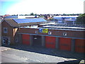
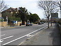
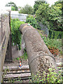
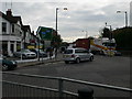
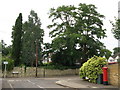
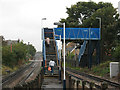
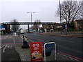
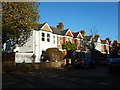

97 photos from this area
Area Information
Key information about the TW10 5DG including its size, population, and administrative classification.
- Area Type
- Postcode
- Area Size
- 5253 m²
- Population
- 1930
- Population Density
- 9134 people/km²
House Prices in TW10 5DG
48
Properties
£350,481
Average Sold Price
£20,000
Lowest Price
£650,000
Highest Price
Showing 48 properties
| Address | Type | Beds | Baths | Last Sale Price | Last Sale Date | |
|---|---|---|---|---|---|---|
| 23, Sheen Court, Sheen Court Road, Richmond, TW10 5DG | Flat | 1 | 1 | £439,000 | Sep 2025 | |
| 15, Sheen Court, Sheen Court Road, Richmond, TW10 5DG | Flat | 2 | 1 | £565,000 | Mar 2025 | |
| 47, Sheen Court, Sheen Court Road, Richmond, TW10 5DG | Flat | - | - | £430,000 | Oct 2024 | |
| 20, Sheen Court, Sheen Court Road, Richmond, TW10 5DG | Flat | - | - | £560,000 | Oct 2024 | |
| 25, Sheen Court, Sheen Court Road, Richmond, TW10 5DG | Flat | - | - | £415,000 | Oct 2023 | |
| 4, Sheen Court, Sheen Court Road, Richmond, TW10 5DG | Flat | 2 | 1 | £520,000 | Dec 2022 | |
| 10, Sheen Court, Sheen Court Road, Richmond, TW10 5DG | Retail | 2 | 1 | £530,000 | Nov 2022 | |
| 29, Sheen Court, Sheen Court Road, Richmond, TW10 5DG | Flat | 3 | 1 | £570,000 | May 2022 | |
| 17, Sheen Court, Sheen Court Road, Richmond, TW10 5DG | Flat | - | - | £516,000 | Oct 2018 | |
| 48, Sheen Court, Sheen Court Road, Richmond, TW10 5DG | Flat | - | - | £650,000 | Jul 2018 |
Page 1 of 5
Energy Efficiency in TW10 5DG
Amenities
Schools
| Rank | School | Type | Entry gender | Ages |
|---|
Explore more schools in this area
Go to Schools tabDemographics
Household Size
Family (3-5 people)
most common
Accommodation Type
Flats
most common
Tenure
48
majority
Ethnic Group
White
most common
Religion
N/A
most common
Household Composition
N/A
most common
Age
47
median
Adults (30-64 years)
most common
Household Deprivation
N/A
with no deprivation
NS-SEC
49
in Lower managerial occupations
Explore more demographic insights in this area
Go to Demographics tabPlanning
Planning Constraints
- Flood RiskPremium
- Ramsar Wetland SitesPremium
- Area of Outstanding Natural BeautyPremium
- Protected Nature ReservePremium
- Protected WoodlandPremium