Area Overview for TW1 1RU
Photos of TW1 1RU
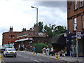
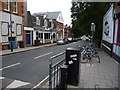
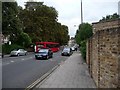
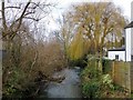
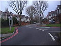
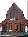
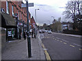
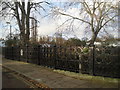
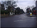

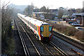
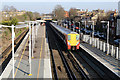
82 photos from this area
Area Information
Key information about the TW1 1RU including its size, population, and administrative classification.
- Area Type
- Postcode
- Area Size
- 7438 m²
- Population
- 1567
- Population Density
- 4970 people/km²
House Prices in TW1 1RU
18
Properties
£1,084,875
Average Sold Price
£220,000
Lowest Price
£1,750,000
Highest Price
Showing 18 properties
| Address | Type | Beds | Baths | Last Sale Price | Last Sale Date | |
|---|---|---|---|---|---|---|
| 6 Cassilis Road, Twickenham, TW1 1RU | Detached | 5 | 3 | £1,105,000 | Dec 2024 | |
| 12 Cassilis Road, Twickenham, TW1 1RU | Detached | 5 | 2 | £1,575,000 | Apr 2024 | |
| 7 Cassilis Road, Twickenham, TW1 1RU | Semi-detached | 5 | 3 | £1,650,000 | Mar 2024 | |
| 8 Cassilis Road, Twickenham, TW1 1RU | Semi-detached | 4 | 2 | £1,490,000 | Jun 2019 | |
| 20 Cassilis Road, Twickenham, TW1 1RU | Semi-detached | 4 | - | £918,500 | Feb 2016 | |
| 13 Cassilis Road, Twickenham, TW1 1RU | house | 5 | - | £1,225,000 | Apr 2014 | |
| 22 Cassilis Road, Twickenham, TW1 1RU | Detached | 5 | - | £1,750,000 | Dec 2012 | |
| 5 Cassilis Road, Twickenham, TW1 1RU | house | - | - | £877,500 | Jul 2012 | |
| 14 Cassilis Road, Twickenham, TW1 1RU | house | 3 | - | £695,000 | Dec 2011 | |
| 2 Cassilis Road, Twickenham, TW1 1RU | house | 5 | - | £840,000 | Apr 2010 |
Page 1 of 2
Energy Efficiency in TW1 1RU
Amenities
Schools
| Rank | School | Type | Entry gender | Ages |
|---|
Explore more schools in this area
Go to Schools tabDemographics
Household Size
Family (3-5 people)
most common
Accommodation Type
Flats
most common
Tenure
57
majority
Ethnic Group
White
most common
Religion
N/A
most common
Household Composition
N/A
most common
Age
47
median
Adults (30-64 years)
most common
Household Deprivation
N/A
with no deprivation
NS-SEC
61
in Lower managerial occupations
Explore more demographic insights in this area
Go to Demographics tabPlanning
Planning Constraints
- Flood RiskPremium
- Ramsar Wetland SitesPremium
- Area of Outstanding Natural BeautyPremium
- Protected Nature ReservePremium
- Protected WoodlandPremium