Area Overview for TW1 1QX
Photos of TW1 1QX
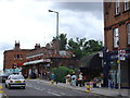
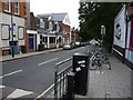
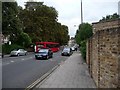
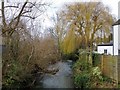
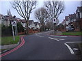

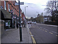
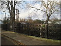
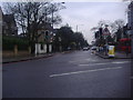

82 photos from this area
Area Information
Key information about the TW1 1QX including its size, population, and administrative classification.
- Area Type
- Postcode
- Area Size
- 3.3 hectares
- Population
- 1567
- Population Density
- 4970 people/km²
House Prices in TW1 1QX
21
Properties
£2,963,500
Average Sold Price
£690,000
Lowest Price
£5,150,000
Highest Price
Showing 21 properties
| Address | Type | Beds | Baths | Last Sale Price | Last Sale Date | |
|---|---|---|---|---|---|---|
| 16 St Peters Road, Twickenham, TW1 1QX | Detached | - | - | £5,150,000 | Mar 2021 | |
| 8 St Peters Road, Twickenham, TW1 1QX | Semi-detached | 5 | - | £3,650,000 | Feb 2020 | |
| 26 St Peters Road, Twickenham, TW1 1QX | Semi-detached | 5 | 4 | £2,300,000 | Apr 2018 | |
| River Grounds Manor, 2 St Peters Road, Twickenham, TW1 1QX | Detached | 6 | 4 | £5,100,000 | Sep 2016 | |
| 4 St Peters Road, Twickenham, TW1 1QX | house | - | - | £3,687,500 | Oct 2014 | |
| 18 St Peters Road, Twickenham, TW1 1QX | Detached | 5 | - | £2,875,000 | Jul 2013 | |
| 12 St Peters Road, Twickenham, TW1 1QX | Detached | - | - | £4,200,000 | Oct 2006 | |
| 10 St Peters Road, Twickenham, TW1 1QX | Semi-detached | - | - | £1,750,000 | Dec 2004 | |
| 6 St Peters Road, Twickenham, TW1 1QX | Semi-detached | 3 | - | £3,350,000 | Dec 2004 | |
| 22 St Peters Road, Twickenham, TW1 1QX | Detached | - | - | £1,000,000 | Nov 2004 |
Page 1 of 3
Energy Efficiency in TW1 1QX
Amenities
Schools
| Rank | School | Type | Entry gender | Ages |
|---|
Explore more schools in this area
Go to Schools tabDemographics
Household Size
Family (3-5 people)
most common
Accommodation Type
Flats
most common
Tenure
57
majority
Ethnic Group
White
most common
Religion
N/A
most common
Household Composition
N/A
most common
Age
47
median
Adults (30-64 years)
most common
Household Deprivation
N/A
with no deprivation
NS-SEC
61
in Lower managerial occupations
Explore more demographic insights in this area
Go to Demographics tabPlanning
Planning Constraints
- Flood RiskPremium
- Ramsar Wetland SitesPremium
- Area of Outstanding Natural BeautyPremium
- Protected Nature ReservePremium
- Protected WoodlandPremium