Area Overview for TW1 1ER
Photos of TW1 1ER

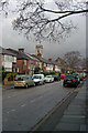
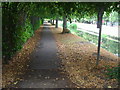
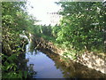
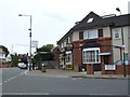

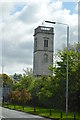
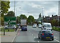

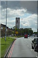
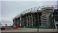
67 photos from this area
Area Information
Key information about the TW1 1ER including its size, population, and administrative classification.
- Area Type
- Postcode
- Area Size
- 1.7 hectares
- Population
- 1598
- Population Density
- 3829 people/km²
House Prices in TW1 1ER
20
Properties
£563,990
Average Sold Price
£199,950
Lowest Price
£1,050,000
Highest Price
Showing 20 properties
| Address | Type | Beds | Baths | Last Sale Price | Last Sale Date | |
|---|---|---|---|---|---|---|
| 99 Chertsey Road, Twickenham, TW1 1ER | Detached | - | - | £400,000 | Sep 2023 | |
| 109 Chertsey Road, Twickenham, TW1 1ER | house | 5 | - | £1,050,000 | Nov 2013 | |
| 129 Chertsey Road, Twickenham, TW1 1ER | Detached | 6 | 4 | £720,000 | Sep 2012 | |
| 115 Chertsey Road, Twickenham, TW1 1ER | house | 4 | - | £450,000 | May 2002 | |
| 135 Chertsey Road, Twickenham, TW1 1ER | Detached | - | - | £199,950 | Jun 1997 | |
| 127 Chertsey Road, Twickenham, TW1 1ER | Detached | 5 | 3 | - | - | |
| 123 Chertsey Road, Twickenham, TW1 1ER | Detached | 4 | - | - | - | |
| 101 Chertsey Road, Twickenham, TW1 1ER | Detached | 4 | - | - | - | |
| 125 Chertsey Road, Twickenham, TW1 1ER | house | 4 | 1 | - | - | |
| 111 Chertsey Road, Twickenham, TW1 1ER | house | 5 | - | - | - |
Page 1 of 2
Energy Efficiency in TW1 1ER
Amenities
Schools
| Rank | School | Type | Entry gender | Ages |
|---|
Explore more schools in this area
Go to Schools tabDemographics
Household Size
Family (3-5 people)
most common
Accommodation Type
Houses
most common
Tenure
67
majority
Ethnic Group
White
most common
Religion
N/A
most common
Household Composition
N/A
most common
Age
47
median
Adults (30-64 years)
most common
Household Deprivation
N/A
with no deprivation
NS-SEC
49
in Lower managerial occupations
Explore more demographic insights in this area
Go to Demographics tabPlanning
Planning Constraints
- Flood RiskPremium
- Ramsar Wetland SitesPremium
- Area of Outstanding Natural BeautyPremium
- Protected Nature ReservePremium
- Protected WoodlandPremium