Area Overview for Tufnell Park Ward
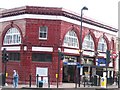
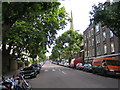
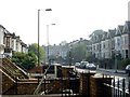
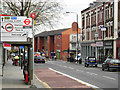
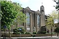
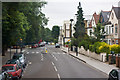
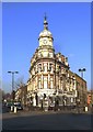
Photos of Tufnell Park Ward

Area Information
Living in Tufnell Park Ward means residing within a defined district of the London Borough of Hornsey that occupies 84.8 hectares. You are settling into a specific ward boundary that forms part of the larger borough unitary structure. This area represents a contained community with distinct characteristics compared to wider neighbourhoods. The local environment is shaped by its specific geography and administrative status within Greater London. Prospective buyers must understand that this ward functions as a specific planning and statistical unit for the department of transport and local government. The size of the land holds implications for density and infrastructure capacity within the ward limits. People moving to this location should anticipate a setting defined by these precise administrative boundaries and land measurements. The daily rhythm of life here is influenced by the ward's position within the borough. You should consider how this specific 84.8-hectare parcel of land integrates with surrounding areas. The ward offers a defined space for community development and residential growth. Understanding these structural details helps you evaluate the suitability of Tufnell Park Ward for your long-term plans.
- Area Type
- District Borough Unitary Ward
- Area Size
- 84.8 hectares
- Population
- Not available
- Population Density
- Not available
Demographics
The community in Tufnell Park Ward has a notably older population profile. Census figures show the median age stands at 70, indicating a significant number of residents aged 65 and over. The most common age grouping reported simply as Age: Total suggests a lack of granular breakdown in the published data for specific year groups other than the median. Consequently, you are likely to encounter a neighbourhood where senior citizens form a major part of the demographic makeup. Home ownership remains relatively low within this setting, with only 34% of households owning their property outright. This statistic implies that the majority of homes here are either rented exclusively or held as investment properties rather than primary residences. The household composition and accommodation type data, while listed as totals without detailed quantification, reflect an area with a specific profile distinct from younger, urban hubs. The predominant ethnic group, religion, and specific deprivation figures are not detailed in the available breakdown for this ward. You should be aware that the 34% ownership rate and the high median age define the social dynamics significantly. These factors influence local services, community clubs, and the general pace of daily life in Tufnell Park Ward.
Household Size
Accommodation Type
Tenure
Ethnic Group
Religion
Household Composition
Age
Household Deprivation
NS-SEC
Explore more demographic insights in this area
Go to Demographics tabPlanning
Planning Constraints
- Flood RiskPremium
- Ramsar Wetland SitesPremium
- Area of Outstanding Natural BeautyPremium
- Protected Nature ReservePremium
- Protected WoodlandPremium
- Crime RiskPremium