Area Overview for Tudor Ward
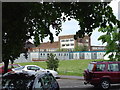
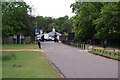
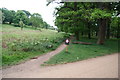
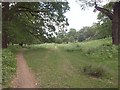
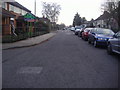
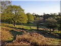
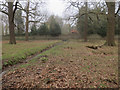
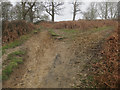
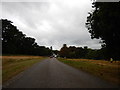
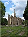
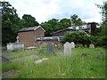
Photos of Tudor Ward

Area Information
Tudor Ward is a small but densely populated district within the borough of South Holland, England. It covers an area of just 1.2 km², yet it houses 1,447 residents. This results in a population density of 1,255 people per square kilometre, indicating a neighbourhood where houses are likely close together. Living in Tudor Ward means you are part of a compact community where the environment is defined by its size rather than sprawling landscapes. The area sits within a larger rural context, offering a feel of intimacy that larger towns cannot provide. Despite its small footprint, the ward supports a full community life. You will find that the local scale allows for immediate interaction with neighbours and a strong sense of place. The location is situated in a part of Lincolnshire that balances rural spread with accessible facilities. Prospective homebuyers looking for a specific type of settlement will find Tudor Ward distinct because it is a defined ward rather than a standalone village. The high density suggests an area with established infrastructure to support its inhabitants. Daily life revolves around this centralised location where services and housing are interwoven tightly.
- Area Type
- District Borough Unitary Ward
- Area Size
- 1.2 km²
- Population
- 1447
- Population Density
- 1255 people/km²
Demographics
The community of Tudor Ward is distinguished by a very mature age profile. The median age is 70 years, which makes it one of the older settlements in the region. Most residents fall into the older age bracket, reflecting a demographic shift common in rural districts. Home ownership stands at a significant 77%, meaning nearly three out of four households own their property outright or with a mortgage. This high level of ownership suggests long-term local roots and stability within the ward. The household composition and accommodation statistics confirm that the area is primarily owner-occupied rather than rental-focused. There is a strong sense of permanency among those who live here. The population mix implies a quiet social environment dominated by older generations. You will find that the social fabric is built around familiarity and long-standing connections. Deprivation metrics are not the primary concern here given the high ownership rates and older demographic focus. The community feel remains stable as the majority of residents have chosen to settle down. Living in Tudor Ward offers a demographic profile suited to retirement and older family life. The data clearly shows an area where ownership and longevity are the defining characteristics of daily life.
Household Size
Accommodation Type
Tenure
Ethnic Group
Religion
Household Composition
Age
Household Deprivation
NS-SEC
Explore more demographic insights in this area
Go to Demographics tabPlanning
Planning Constraints
- Flood RiskPremium
- Ramsar Wetland SitesPremium
- Area of Outstanding Natural BeautyPremium
- Protected Nature ReservePremium
- Protected WoodlandPremium
- Crime RiskPremium