Area Overview for TN16 3QS
Photos of TN16 3QS
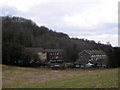
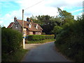
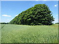
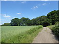
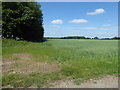
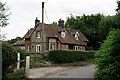
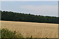
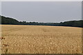
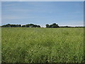
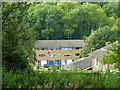
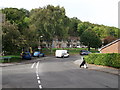
29 photos from this area
Area Information
Key information about the TN16 3QS including its size, population, and administrative classification.
- Area Type
- Postcode
- Area Size
- 1.0 hectares
- Population
- 1328
- Population Density
- 3489 people/km²
House Prices in TN16 3QS
29
Properties
£268,520
Average Sold Price
£71,000
Lowest Price
£475,000
Highest Price
Showing 29 properties
| Address | Type | Beds | Baths | Last Sale Price | Last Sale Date | |
|---|---|---|---|---|---|---|
| 218 Swievelands Road, Biggin Hill, TN16 3QS | Terraced | 4 | 1 | £475,000 | May 2023 | |
| 188 Swievelands Road, Biggin Hill, TN16 3QS | Semi-detached | 3 | 1 | £420,000 | Mar 2023 | |
| 204 Swievelands Road, Biggin Hill, TN16 3QS | house | - | - | £450,000 | Jul 2022 | |
| 208 Swievelands Road, Biggin Hill, TN16 3QS | house | 3 | - | £410,000 | Dec 2020 | |
| 180 Swievelands Road, Biggin Hill, TN16 3QS | Terraced | 4 | 1 | £430,000 | Sep 2018 | |
| 210 Swievelands Road, Biggin Hill, TN16 3QS | Terraced | 4 | 1 | £335,000 | Jun 2018 | |
| 190 Swievelands Road, Biggin Hill, TN16 3QS | Semi-detached | 3 | 1 | £390,000 | Dec 2017 | |
| 192 Swievelands Road, Biggin Hill, TN16 3QS | Semi-detached | 4 | 2 | £265,000 | Feb 2014 | |
| 174 Swievelands Road, Biggin Hill, TN16 3QS | house | 4 | - | £280,000 | Aug 2012 | |
| 178 Swievelands Road, Biggin Hill, TN16 3QS | house | 3 | - | £205,000 | Jan 2012 |
Page 1 of 3
Energy Efficiency in TN16 3QS
Amenities
Schools
| Rank | School | Type | Entry gender | Ages |
|---|
Explore more schools in this area
Go to Schools tabDemographics
Household Size
Family (3-5 people)
most common
Accommodation Type
Houses
most common
Tenure
88
majority
Ethnic Group
White
most common
Religion
N/A
most common
Household Composition
N/A
most common
Age
47
median
Adults (30-64 years)
most common
Household Deprivation
N/A
with no deprivation
NS-SEC
36
in Lower managerial occupations
Explore more demographic insights in this area
Go to Demographics tabPlanning
Planning Constraints
- Flood RiskPremium
- Ramsar Wetland SitesPremium
- Area of Outstanding Natural BeautyPremium
- Protected Nature ReservePremium
- Protected WoodlandPremium