Area Overview for SW9 8DR
Photos of SW9 8DR


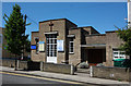

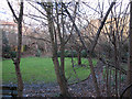
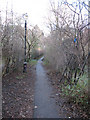
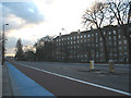
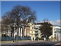
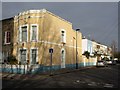
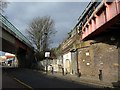
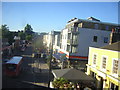
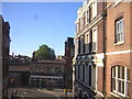
100 photos from this area
Area Information
Key information about the SW9 8DR including its size, population, and administrative classification.
- Area Type
- Postcode
- Area Size
- 5739 m²
- Population
- 1600
- Population Density
- 11696 people/km²
House Prices in SW9 8DR
24
Properties
£735,800
Average Sold Price
£280,000
Lowest Price
£1,388,000
Highest Price
Showing 24 properties
| Address | Type | Beds | Baths | Last Sale Price | Last Sale Date | |
|---|---|---|---|---|---|---|
| 47 Trinity Gardens, London, SW9 8DR | Terraced | 3 | 2 | £1,388,000 | Jul 2024 | |
| 55 Trinity Gardens, London, SW9 8DR | house | - | - | £1,200,000 | Oct 2023 | |
| 59 Trinity Gardens, London, SW9 8DR | house | - | - | £860,000 | Jul 2019 | |
| 58 Trinity Gardens, London, SW9 8DR | Terraced | 2 | 1 | £865,000 | Mar 2018 | |
| 64 Trinity Gardens, London, SW9 8DR | house | 3 | - | £740,000 | Jan 2010 | |
| 61 Trinity Gardens, London, SW9 8DR | house | - | - | £660,000 | Nov 2007 | |
| 62 Trinity Gardens, London, SW9 8DR | Terraced | - | - | £530,000 | Nov 2005 | |
| 60 Trinity Gardens, London, SW9 8DR | Terraced | - | - | £520,000 | Apr 2003 | |
| 53 Trinity Gardens, London, SW9 8DR | Maisonette | - | - | £315,000 | Aug 2001 | |
| 57 Trinity Gardens, London, SW9 8DR | Terraced | - | - | £280,000 | Mar 2000 |
Page 1 of 3
Energy Efficiency in SW9 8DR
Amenities
Schools
| Rank | School | Type | Entry gender | Ages |
|---|
Explore more schools in this area
Go to Schools tabDemographics
Household Size
One person
most common
Accommodation Type
Flats
most common
Tenure
30
majority
Ethnic Group
White
most common
Religion
N/A
most common
Household Composition
N/A
most common
Age
47
median
Adults (30-64 years)
most common
Household Deprivation
N/A
with no deprivation
NS-SEC
53
in Lower managerial occupations
Explore more demographic insights in this area
Go to Demographics tabPlanning
Planning Constraints
- Flood RiskPremium
- Ramsar Wetland SitesPremium
- Area of Outstanding Natural BeautyPremium
- Protected Nature ReservePremium
- Protected WoodlandPremium