Area Overview for SW9 0HP
Photos of SW9 0HP
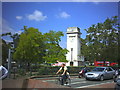
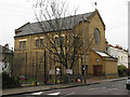
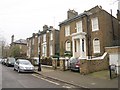
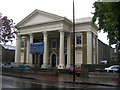
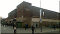
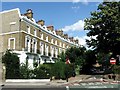
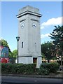
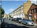
100 photos from this area
Area Information
Key information about the SW9 0HP including its size, population, and administrative classification.
- Area Type
- Postcode
- Area Size
- 7503 m²
- Population
- 2440
- Population Density
- 11686 people/km²
House Prices in SW9 0HP
66
Properties
£558,286
Average Sold Price
£205,000
Lowest Price
£870,000
Highest Price
Showing 66 properties
| Address | Type | Beds | Baths | Last Sale Price | Last Sale Date | |
|---|---|---|---|---|---|---|
| 123 Clapham Road, London, SW9 0HP | Detached | 3 | 3 | £800,000 | Jul 2025 | |
| 125A Clapham Road, London, SW9 0HP | house | 3 | 3 | £870,000 | Nov 2016 | |
| 121 Clapham Road, London, SW9 0HP | Terraced | 4 | - | £715,000 | Jul 2013 | |
| 125 Clapham Road, London, SW9 0HP | Terraced | 2 | 2 | £612,000 | Sep 2011 | |
| 129 Clapham Road, London, SW9 0HP | Semi-detached | - | - | £490,000 | Jun 2001 | |
| 127 Clapham Road, London, SW9 0HP | Detached | 4 | 2 | £205,000 | Jun 1996 | |
| 119 Clapham Road, London, SW9 0HP | Detached | 3 | 1 | £216,000 | Oct 1995 | |
| Flat 109, 139 Clapham Road, London, SW9 0HP | Flat | 2 | 2 | - | - | |
| Flat 9, 139 Clapham Road, London, SW9 0HP | Flat | 2 | 1 | - | - | |
| Flat 102, 139 Clapham Road, London, SW9 0HP | Flat | 2 | 1 | - | - |
Page 1 of 7
Energy Efficiency in SW9 0HP
Amenities
Schools
| Rank | School | Type | Entry gender | Ages |
|---|
Explore more schools in this area
Go to Schools tabDemographics
Household Size
Two person
most common
Accommodation Type
Flats
most common
Tenure
35
majority
Ethnic Group
White
most common
Religion
N/A
most common
Household Composition
N/A
most common
Age
47
median
Adults (30-64 years)
most common
Household Deprivation
N/A
with no deprivation
NS-SEC
55
in Lower managerial occupations
Explore more demographic insights in this area
Go to Demographics tabPlanning
Planning Constraints
- Flood RiskPremium
- Ramsar Wetland SitesPremium
- Area of Outstanding Natural BeautyPremium
- Protected Nature ReservePremium
- Protected WoodlandPremium