Area Overview for SW8 3PS
Photos of SW8 3PS
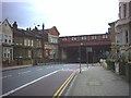
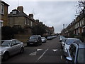
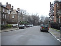
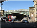
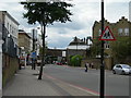
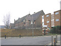
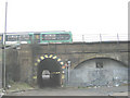
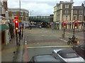
100 photos from this area
Area Information
Key information about the SW8 3PS including its size, population, and administrative classification.
- Area Type
- Postcode
- Area Size
- 1664 m²
- Population
- 1874
- Population Density
- 4906 people/km²
House Prices in SW8 3PS
26
Properties
£468,389
Average Sold Price
£154,000
Lowest Price
£825,000
Highest Price
Showing 26 properties
| Address | Type | Beds | Baths | Last Sale Price | Last Sale Date | |
|---|---|---|---|---|---|---|
| 23A Emu Road, London, SW8 3PS | Maisonette | 2 | - | £825,000 | Sep 2023 | |
| 19 Emu Road, London, SW8 3PS | Flat | - | - | £540,000 | Feb 2022 | |
| 21A Emu Road, London, SW8 3PS | Flat | - | - | £431,000 | Dec 2021 | |
| 1A Emu Road, London, SW8 3PS | Maisonette | 2 | 1 | £770,000 | Sep 2021 | |
| 1 Emu Road, London, SW8 3PS | Flat | 2 | 1 | £620,000 | Apr 2021 | |
| 21 Emu Road, London, SW8 3PS | Flat | - | - | £442,500 | Aug 2012 | |
| 9 Emu Road, London, SW8 3PS | Flat | - | - | £250,000 | May 2002 | |
| 9A Emu Road, London, SW8 3PS | Flat | - | - | £154,000 | Jun 2001 | |
| 13A Emu Road, London, SW8 3PS | Flat | - | - | £183,000 | Jan 1999 | |
| 13 Emu Road, London, SW8 3PS | Flat | 2 | - | - | - |
Page 1 of 3
Energy Efficiency in SW8 3PS
Amenities
Schools
| Rank | School | Type | Entry gender | Ages |
|---|
Explore more schools in this area
Go to Schools tabDemographics
Household Size
Two person
most common
Accommodation Type
Flats
most common
Tenure
33
majority
Ethnic Group
White
most common
Religion
N/A
most common
Household Composition
N/A
most common
Age
47
median
Adults (30-64 years)
most common
Household Deprivation
N/A
with no deprivation
NS-SEC
55
in Lower managerial occupations
Explore more demographic insights in this area
Go to Demographics tabPlanning
Planning Constraints
- Flood RiskPremium
- Ramsar Wetland SitesPremium
- Area of Outstanding Natural BeautyPremium
- Protected Nature ReservePremium
- Protected WoodlandPremium