Area Overview for SW6 4XG
Photos of SW6 4XG
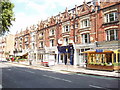
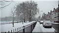
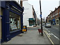
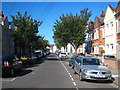
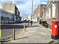
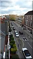
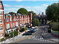
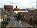
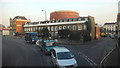
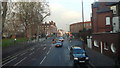
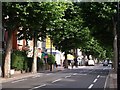
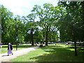
100 photos from this area
Area Information
Key information about the SW6 4XG including its size, population, and administrative classification.
- Area Type
- Postcode
- Area Size
- 5778 m²
- Population
- 1572
- Population Density
- 11078 people/km²
House Prices in SW6 4XG
6
Properties
£1,735,408
Average Sold Price
£860,000
Lowest Price
£2,531,630
Highest Price
Showing 6 properties
| Address | Type | Beds | Baths | Last Sale Price | Last Sale Date | |
|---|---|---|---|---|---|---|
| Albyn House, 239 New Kings Road, London, SW6 4XG | Terraced | 4 | 2 | £2,531,630 | Sep 2018 | |
| Cradley House, 241 New Kings Road, London, SW6 4XG | house | - | - | £1,750,000 | Dec 2009 | |
| Sefton House, 243 New Kings Road, London, SW6 4XG | house | 5 | - | £1,800,000 | Aug 2005 | |
| Rosslyn House, 237 New Kings Road, London, SW6 4XG | Terraced | - | - | £860,000 | Aug 2003 | |
| Duke On The Green, 235 New Kings Road, London, SW6 4XG | Leisure | - | - | - | - | |
| Belgrave House, 245 New Kings Road, London, SW6 4XG | Terraced | - | - | - | - |
Energy Efficiency in SW6 4XG
Amenities
Schools
| Rank | School | Type | Entry gender | Ages |
|---|
Explore more schools in this area
Go to Schools tabDemographics
Household Size
Family (3-5 people)
most common
Accommodation Type
Houses
most common
Tenure
56
majority
Ethnic Group
White
most common
Religion
N/A
most common
Household Composition
N/A
most common
Age
47
median
Adults (30-64 years)
most common
Household Deprivation
N/A
with no deprivation
NS-SEC
56
in Lower managerial occupations
Explore more demographic insights in this area
Go to Demographics tabPlanning
Planning Constraints
- Flood RiskPremium
- Ramsar Wetland SitesPremium
- Area of Outstanding Natural BeautyPremium
- Protected Nature ReservePremium
- Protected WoodlandPremium