Area Overview for SW6 2LH
Photos of SW6 2LH
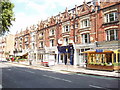

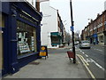
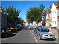
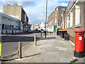
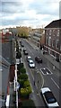
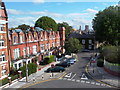
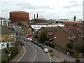


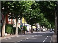
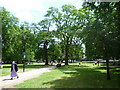
100 photos from this area
Area Information
Key information about the SW6 2LH including its size, population, and administrative classification.
- Area Type
- Postcode
- Area Size
- 2873 m²
- Population
- 2038
- Population Density
- 18888 people/km²
House Prices in SW6 2LH
45
Properties
£553,323
Average Sold Price
£36,000
Lowest Price
£1,200,000
Highest Price
Showing 45 properties
| Address | Type | Beds | Baths | Last Sale Price | Last Sale Date | |
|---|---|---|---|---|---|---|
| 16A Furness Road, London, SW6 2LH | Flat | 2 | - | £535,000 | Oct 2023 | |
| 18 Furness Road, London, SW6 2LH | Flat | 2 | 2 | £765,049 | Apr 2022 | |
| 12A Furness Road, London, SW6 2LH | Flat | - | - | £675,000 | Apr 2019 | |
| 22A Furness Road, London, SW6 2LH | Flat | 2 | 1 | £745,000 | May 2018 | |
| 32A Furness Road, London, SW6 2LH | Maisonette | 2 | 1 | £610,000 | May 2018 | |
| 38 Furness Road, London, SW6 2LH | Flat | 2 | 1 | £1,200,000 | Jul 2016 | |
| 22 Furness Road, London, SW6 2LH | Flat | - | - | £625,000 | Aug 2015 | |
| 24A Furness Road, London, SW6 2LH | Flat | 1 | 1 | £775,000 | Sep 2014 | |
| 30A Furness Road, London, SW6 2LH | Maisonette | 2 | 1 | £575,000 | May 2013 | |
| 16 Furness Road, London, SW6 2LH | Maisonette | - | - | £352,500 | Mar 2012 |
Page 1 of 5
Energy Efficiency in SW6 2LH
Amenities
Schools
| Rank | School | Type | Entry gender | Ages |
|---|
Explore more schools in this area
Go to Schools tabDemographics
Household Size
One person
most common
Accommodation Type
Flats
most common
Tenure
42
majority
Ethnic Group
White
most common
Religion
N/A
most common
Household Composition
N/A
most common
Age
47
median
Adults (30-64 years)
most common
Household Deprivation
N/A
with no deprivation
NS-SEC
54
in Lower managerial occupations
Explore more demographic insights in this area
Go to Demographics tabPlanning
Planning Constraints
- Flood RiskPremium
- Ramsar Wetland SitesPremium
- Area of Outstanding Natural BeautyPremium
- Protected Nature ReservePremium
- Protected WoodlandPremium