Area Overview for SW6 2DJ
Photos of SW6 2DJ


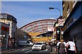
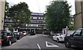
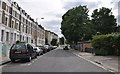
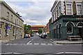
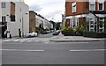
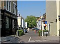
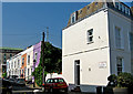
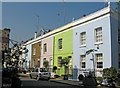
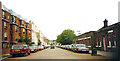

100 photos from this area
Area Information
Key information about the SW6 2DJ including its size, population, and administrative classification.
- Area Type
- Postcode
- Area Size
- 1508 m²
- Population
- 1451
- Population Density
- 14776 people/km²
House Prices in SW6 2DJ
6
Properties
£857,083
Average Sold Price
£275,000
Lowest Price
£1,400,000
Highest Price
Showing 6 properties
| Address | Type | Beds | Baths | Last Sale Price | Last Sale Date | |
|---|---|---|---|---|---|---|
| 25 Waterford Road, London, SW6 2DJ | Terraced | 3 | 2 | £1,400,000 | Jun 2022 | |
| 23 Waterford Road, London, SW6 2DJ | Terraced | 3 | 2 | £1,362,500 | Sep 2021 | |
| 21 Waterford Road, London, SW6 2DJ | house | - | - | £985,000 | May 2018 | |
| 27 Waterford Road, London, SW6 2DJ | Terraced | - | - | £745,000 | May 2006 | |
| 17 Waterford Road, London, SW6 2DJ | Detached | 4 | 3 | £375,000 | Jan 2001 | |
| 19 Waterford Road, London, SW6 2DJ | Terraced | 3 | - | £275,000 | May 1997 |
Energy Efficiency in SW6 2DJ
Amenities
Schools
| Rank | School | Type | Entry gender | Ages |
|---|
Explore more schools in this area
Go to Schools tabDemographics
Household Size
Two person
most common
Accommodation Type
Flats
most common
Tenure
48
majority
Ethnic Group
White
most common
Religion
N/A
most common
Household Composition
N/A
most common
Age
47
median
Adults (30-64 years)
most common
Household Deprivation
N/A
with no deprivation
NS-SEC
55
in Lower managerial occupations
Explore more demographic insights in this area
Go to Demographics tabPlanning
Planning Constraints
- Flood RiskPremium
- Ramsar Wetland SitesPremium
- Area of Outstanding Natural BeautyPremium
- Protected Nature ReservePremium
- Protected WoodlandPremium