Area Overview for SW6 1RB
Photos of SW6 1RB
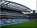
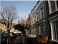
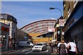
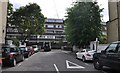
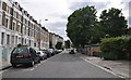
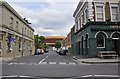
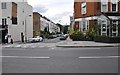
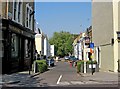
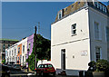
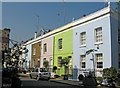
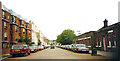
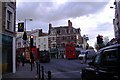
100 photos from this area
Area Information
Key information about the SW6 1RB including its size, population, and administrative classification.
- Area Type
- Postcode
- Area Size
- 4571 m²
- Population
- 1869
- Population Density
- 14138 people/km²
House Prices in SW6 1RB
38
Properties
£1,158,125
Average Sold Price
£246,500
Lowest Price
£2,195,000
Highest Price
Showing 38 properties
| Address | Type | Beds | Baths | Last Sale Price | Last Sale Date | |
|---|---|---|---|---|---|---|
| 64 Sedlescombe Road, London, SW6 1RB | Terraced | 5 | 2 | £1,480,000 | Feb 2025 | |
| 54 Sedlescombe Road, London, SW6 1RB | Terraced | 5 | 3 | £2,195,000 | Mar 2022 | |
| 68 Sedlescombe Road, London, SW6 1RB | Retail | 3 | 2 | £1,300,000 | Sep 2021 | |
| 52 Sedlescombe Road, London, SW6 1RB | Terraced | 6 | 3 | £1,855,000 | Aug 2021 | |
| 72 Sedlescombe Road, London, SW6 1RB | Terraced | 3 | 3 | £1,670,000 | Mar 2017 | |
| 92 Sedlescombe Road, London, SW6 1RB | house | 5 | 2 | £1,785,000 | Oct 2014 | |
| 84 Sedlescombe Road, London, SW6 1RB | house | 3 | 2 | £950,000 | Jul 2012 | |
| 58 Sedlescombe Road, London, SW6 1RB | Terraced | - | - | £780,000 | Nov 2006 | |
| 62 Sedlescombe Road, London, SW6 1RB | house | - | - | £604,000 | Jun 2006 | |
| 74 Sedlescombe Road, London, SW6 1RB | Terraced | - | - | £510,000 | May 2004 |
Page 1 of 4
Energy Efficiency in SW6 1RB
Amenities
Schools
| Rank | School | Type | Entry gender | Ages |
|---|
Explore more schools in this area
Go to Schools tabDemographics
Household Size
One person
most common
Accommodation Type
Flats
most common
Tenure
29
majority
Ethnic Group
White
most common
Religion
N/A
most common
Household Composition
N/A
most common
Age
47
median
Adults (30-64 years)
most common
Household Deprivation
N/A
with no deprivation
NS-SEC
51
in Lower managerial occupations
Explore more demographic insights in this area
Go to Demographics tabPlanning
Planning Constraints
- Flood RiskPremium
- Ramsar Wetland SitesPremium
- Area of Outstanding Natural BeautyPremium
- Protected Nature ReservePremium
- Protected WoodlandPremium