Area Overview for SW4 7HE
Photos of SW4 7HE


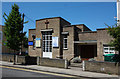

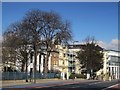
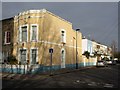
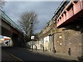
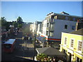
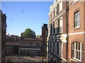
100 photos from this area
Area Information
Key information about the SW4 7HE including its size, population, and administrative classification.
- Area Type
- Postcode
- Area Size
- 2585 m²
- Population
- 2191
- Population Density
- 25011 people/km²
House Prices in SW4 7HE
10
Properties
£447,200
Average Sold Price
£202,500
Lowest Price
£865,000
Highest Price
Showing 10 properties
| Address | Type | Beds | Baths | Last Sale Price | Last Sale Date | |
|---|---|---|---|---|---|---|
| 58 Bedford Road, London, SW4 7HE | house | - | - | £865,000 | Oct 2021 | |
| 70 Bedford Road, London, SW4 7HE | Semi-detached | 4 | - | £660,000 | Mar 2013 | |
| 56 Bedford Road, London, SW4 7HE | house | 1 | 4 | £585,000 | Sep 2011 | |
| 60 Bedford Road, London, SW4 7HE | house | 5 | - | £585,000 | Jul 2011 | |
| 68 Bedford Road, London, SW4 7HE | Terraced | - | - | £530,000 | Jun 2007 | |
| 72 Bedford Road, London, SW4 7HE | Terraced | - | - | £387,000 | Aug 2005 | |
| 54 Bedford Road, London, SW4 7HE | Terraced | 4 | - | £247,500 | Jan 1999 | |
| 62 Bedford Road, London, SW4 7HE | house | - | - | £202,500 | Aug 1998 | |
| 64 Bedford Road, London, SW4 7HE | Terraced | 4 | 2 | £205,000 | May 1998 | |
| 66 Bedford Road, London, SW4 7HE | Terraced | 4 | 2 | £205,000 | Mar 1998 |
Energy Efficiency in SW4 7HE
Amenities
Schools
| Rank | School | Type | Entry gender | Ages |
|---|
Explore more schools in this area
Go to Schools tabDemographics
Household Size
Two person
most common
Accommodation Type
Flats
most common
Tenure
30
majority
Ethnic Group
White
most common
Religion
N/A
most common
Household Composition
N/A
most common
Age
22
median
Young Adults (15-29 years)
most common
Household Deprivation
N/A
with no deprivation
NS-SEC
69
in Lower managerial occupations
Explore more demographic insights in this area
Go to Demographics tabPlanning
Planning Constraints
- Flood RiskPremium
- Ramsar Wetland SitesPremium
- Area of Outstanding Natural BeautyPremium
- Protected Nature ReservePremium
- Protected WoodlandPremium