Area Overview for SW20 9EG
Photos of SW20 9EG
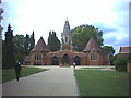
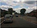
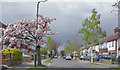
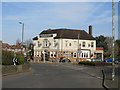
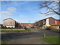
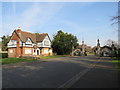
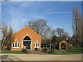
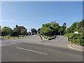
48 photos from this area
Area Information
Key information about the SW20 9EG including its size, population, and administrative classification.
- Area Type
- Postcode
- Area Size
- 3.4 hectares
- Population
- 1766
- Population Density
- 4494 people/km²
House Prices in SW20 9EG
46
Properties
£472,627
Average Sold Price
£112,000
Lowest Price
£980,000
Highest Price
Showing 46 properties
| Address | Type | Beds | Baths | Last Sale Price | Last Sale Date | |
|---|---|---|---|---|---|---|
| 118 Elm Walk, Raynes Park, SW20 9EG | house | 4 | 2 | £980,000 | Jun 2025 | |
| 104 Elm Walk, Raynes Park, SW20 9EG | Terraced | 3 | 2 | £800,000 | Jul 2024 | |
| 90 Elm Walk, Raynes Park, SW20 9EG | Terraced | 3 | 2 | £840,000 | Dec 2023 | |
| 150 Elm Walk, Raynes Park, SW20 9EG | Terraced | 3 | 1 | £767,550 | Nov 2021 | |
| 132 Elm Walk, Raynes Park, SW20 9EG | house | - | - | £710,500 | Sep 2021 | |
| 152 Elm Walk, Raynes Park, SW20 9EG | Terraced | 4 | 2 | £620,000 | Mar 2021 | |
| 170 Elm Walk, Raynes Park, SW20 9EG | Terraced | 3 | 1 | £535,000 | Jul 2019 | |
| 164 Elm Walk, Raynes Park, SW20 9EG | Terraced | 5 | 2 | £679,000 | Mar 2019 | |
| 116 Elm Walk, Raynes Park, SW20 9EG | Terraced | 3 | 1 | £650,000 | Jul 2017 | |
| 112 Elm Walk, Raynes Park, SW20 9EG | Terraced | 4 | 1 | £709,000 | May 2016 |
Page 1 of 5
Energy Efficiency in SW20 9EG
Amenities
Schools
| Rank | School | Type | Entry gender | Ages |
|---|
Explore more schools in this area
Go to Schools tabDemographics
Household Size
Family (3-5 people)
most common
Accommodation Type
Houses
most common
Tenure
75
majority
Ethnic Group
White
most common
Religion
N/A
most common
Household Composition
N/A
most common
Age
47
median
Adults (30-64 years)
most common
Household Deprivation
N/A
with no deprivation
NS-SEC
52
in Lower managerial occupations
Explore more demographic insights in this area
Go to Demographics tabPlanning
Planning Constraints
- Flood RiskPremium
- Ramsar Wetland SitesPremium
- Area of Outstanding Natural BeautyPremium
- Protected Nature ReservePremium
- Protected WoodlandPremium