Area Overview for SW20 9AA
Photos of SW20 9AA
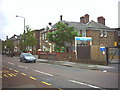
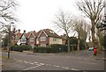
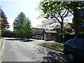
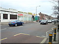
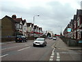
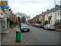
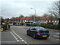

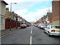
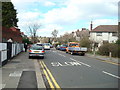
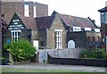
52 photos from this area
Area Information
Key information about the SW20 9AA including its size, population, and administrative classification.
- Area Type
- Postcode
- Area Size
- 5179 m²
- Population
- 1643
- Population Density
- 7922 people/km²
House Prices in SW20 9AA
11
Properties
£790,450
Average Sold Price
£140,000
Lowest Price
£1,705,000
Highest Price
Showing 11 properties
| Address | Type | Beds | Baths | Last Sale Price | Last Sale Date | |
|---|---|---|---|---|---|---|
| Briar Cottage, 8 Watery Lane, Wimbledon, SW20 9AA | Semi-detached | 2 | 2 | £1,645,000 | Dec 2024 | |
| 6 Watery Lane, Wimbledon, SW20 9AA | Semi-detached | 2 | 1 | £847,000 | Aug 2022 | |
| 17 Watery Lane, Wimbledon, SW20 9AA | Detached | 4 | 2 | £1,705,000 | Oct 2021 | |
| 7 Watery Lane, Wimbledon, SW20 9AA | Detached | 3 | 1 | £885,000 | Jan 2021 | |
| 15 Watery Lane, Wimbledon, SW20 9AA | house | - | - | £950,000 | Aug 2014 | |
| 11 Watery Lane, Wimbledon, SW20 9AA | house | 3 | - | £588,000 | May 2011 | |
| 4 Watery Lane, Wimbledon, SW20 9AA | Semi-detached | 3 | 1 | £409,000 | Mar 2004 | |
| 13 Watery Lane, Wimbledon, SW20 9AA | Terraced | - | - | £574,000 | Nov 2003 | |
| 5 Watery Lane, Wimbledon, SW20 9AA | Detached | - | - | £140,000 | Jun 1997 | |
| 9 Watery Lane, Wimbledon, SW20 9AA | Terraced | - | - | £161,500 | Feb 1995 |
Page 1 of 2
Energy Efficiency in SW20 9AA
Amenities
Schools
| Rank | School | Type | Entry gender | Ages |
|---|
Explore more schools in this area
Go to Schools tabDemographics
Household Size
Family (3-5 people)
most common
Accommodation Type
Houses
most common
Tenure
67
majority
Ethnic Group
White
most common
Religion
N/A
most common
Household Composition
N/A
most common
Age
47
median
Adults (30-64 years)
most common
Household Deprivation
N/A
with no deprivation
NS-SEC
57
in Lower managerial occupations
Explore more demographic insights in this area
Go to Demographics tabPlanning
Planning Constraints
- Flood RiskPremium
- Ramsar Wetland SitesPremium
- Area of Outstanding Natural BeautyPremium
- Protected Nature ReservePremium
- Protected WoodlandPremium