Area Overview for SW20 8PS
Photos of SW20 8PS
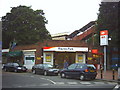
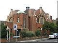

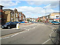
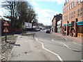
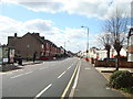

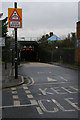
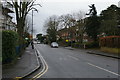
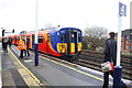
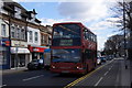
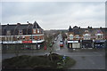
67 photos from this area
Area Information
Key information about the SW20 8PS including its size, population, and administrative classification.
- Area Type
- Postcode
- Area Size
- 8687 m²
- Population
- 1406
- Population Density
- 10774 people/km²
House Prices in SW20 8PS
50
Properties
£501,886
Average Sold Price
£175,000
Lowest Price
£980,000
Highest Price
Showing 50 properties
| Address | Type | Beds | Baths | Last Sale Price | Last Sale Date | |
|---|---|---|---|---|---|---|
| 40 Delamere Road, Raynes Park, SW20 8PS | Flat | 2 | 1 | £360,000 | Jun 2025 | |
| 19 Delamere Road, Raynes Park, SW20 8PS | Terraced | 3 | 2 | £950,000 | Nov 2024 | |
| 11 Delamere Road, Raynes Park, SW20 8PS | house | - | - | £980,000 | Mar 2022 | |
| 3 Delamere Road, Raynes Park, SW20 8PS | Terraced | 3 | 1 | £945,000 | Dec 2021 | |
| 28 Delamere Road, Raynes Park, SW20 8PS | Detached | 3 | 1 | £787,000 | Dec 2021 | |
| 30 Delamere Road, Raynes Park, SW20 8PS | Flat | - | - | £360,000 | Jan 2021 | |
| 9 Delamere Road, Raynes Park, SW20 8PS | house | 3 | 2 | £826,240 | Nov 2019 | |
| 21A Delamere Road, Raynes Park, SW20 8PS | Maisonette | - | - | £295,000 | Apr 2018 | |
| 14A Delamere Road, Raynes Park, SW20 8PS | Flat | 1 | 1 | £485,000 | Nov 2016 | |
| 20A Delamere Road, Raynes Park, SW20 8PS | Flat | 2 | 1 | £314,000 | Feb 2013 |
Page 1 of 5
Energy Efficiency in SW20 8PS
Amenities
Schools
| Rank | School | Type | Entry gender | Ages |
|---|
Explore more schools in this area
Go to Schools tabDemographics
Household Size
Two person
most common
Accommodation Type
Flats
most common
Tenure
49
majority
Ethnic Group
White
most common
Religion
N/A
most common
Household Composition
N/A
most common
Age
47
median
Adults (30-64 years)
most common
Household Deprivation
N/A
with no deprivation
NS-SEC
55
in Lower managerial occupations
Explore more demographic insights in this area
Go to Demographics tabPlanning
Planning Constraints
- Flood RiskPremium
- Ramsar Wetland SitesPremium
- Area of Outstanding Natural BeautyPremium
- Protected Nature ReservePremium
- Protected WoodlandPremium