Area Overview for SW20 8JU
Photos of SW20 8JU
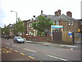
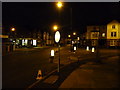
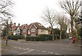
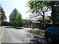
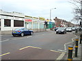
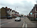
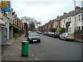
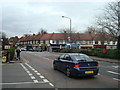

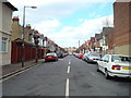
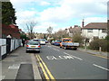
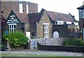
52 photos from this area
Area Information
Key information about the SW20 8JU including its size, population, and administrative classification.
- Area Type
- Postcode
- Area Size
- 1.2 hectares
- Population
- 1643
- Population Density
- 7922 people/km²
House Prices in SW20 8JU
84
Properties
£299,644
Average Sold Price
£25,000
Lowest Price
£650,000
Highest Price
Showing 84 properties
| Address | Type | Beds | Baths | Last Sale Price | Last Sale Date | |
|---|---|---|---|---|---|---|
| 4 Rothesay Avenue, Raynes Park, SW20 8JU | Flat | 2 | 1 | £455,000 | Mar 2025 | |
| 23 Rothesay Avenue, Raynes Park, SW20 8JU | Maisonette | 2 | 1 | £450,000 | Mar 2025 | |
| 15 Rothesay Avenue, Raynes Park, SW20 8JU | Maisonette | 2 | 1 | £420,000 | Aug 2024 | |
| 11 Rothesay Avenue, Raynes Park, SW20 8JU | Maisonette | 3 | - | £415,000 | Jun 2024 | |
| 26 Rothesay Avenue, Raynes Park, SW20 8JU | Flat | 2 | 1 | £375,000 | Oct 2022 | |
| 50 Rothesay Avenue, Raynes Park, SW20 8JU | Maisonette | 2 | 1 | £327,750 | Aug 2022 | |
| 38 Rothesay Avenue, Raynes Park, SW20 8JU | Flat | 2 | 1 | £435,000 | Jun 2022 | |
| 54 Rothesay Avenue, Raynes Park, SW20 8JU | Maisonette | 2 | 1 | £650,000 | May 2022 | |
| 6 Rothesay Avenue, Raynes Park, SW20 8JU | Flat | - | - | £395,000 | Mar 2022 | |
| 10 Rothesay Avenue, Raynes Park, SW20 8JU | Flat | - | - | £455,000 | Jan 2021 |
Page 1 of 9
Energy Efficiency in SW20 8JU
Amenities
Schools
| Rank | School | Type | Entry gender | Ages |
|---|
Explore more schools in this area
Go to Schools tabDemographics
Household Size
Family (3-5 people)
most common
Accommodation Type
Houses
most common
Tenure
67
majority
Ethnic Group
White
most common
Religion
N/A
most common
Household Composition
N/A
most common
Age
47
median
Adults (30-64 years)
most common
Household Deprivation
N/A
with no deprivation
NS-SEC
57
in Lower managerial occupations
Explore more demographic insights in this area
Go to Demographics tabPlanning
Planning Constraints
- Flood RiskPremium
- Ramsar Wetland SitesPremium
- Area of Outstanding Natural BeautyPremium
- Protected Nature ReservePremium
- Protected WoodlandPremium