Area Overview for SW20 8EF
Photos of SW20 8EF
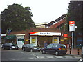
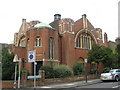
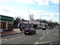
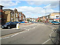
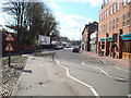
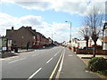
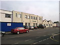
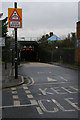
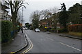
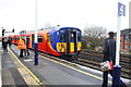
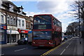
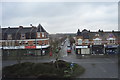
67 photos from this area
Area Information
Key information about the SW20 8EF including its size, population, and administrative classification.
- Area Type
- Postcode
- Area Size
- 9964 m²
- Population
- 1783
- Population Density
- 10793 people/km²
House Prices in SW20 8EF
56
Properties
£516,932
Average Sold Price
£91,000
Lowest Price
£900,000
Highest Price
Showing 56 properties
| Address | Type | Beds | Baths | Last Sale Price | Last Sale Date | |
|---|---|---|---|---|---|---|
| 90 Sydney Road, Raynes Park, SW20 8EF | Terraced | 2 | 1 | £775,000 | Oct 2025 | |
| 92 Sydney Road, Raynes Park, SW20 8EF | Terraced | 2 | 1 | £867,500 | Feb 2025 | |
| 54 Sydney Road, Raynes Park, SW20 8EF | Terraced | 2 | 1 | £715,000 | Oct 2024 | |
| 50 Sydney Road, Raynes Park, SW20 8EF | Terraced | 3 | 2 | £900,000 | Sep 2024 | |
| 96 Sydney Road, Raynes Park, SW20 8EF | Terraced | 3 | 2 | £855,250 | Sep 2024 | |
| 60 Sydney Road, Raynes Park, SW20 8EF | Detached | 2 | 1 | £712,500 | Mar 2023 | |
| 48 Sydney Road, Raynes Park, SW20 8EF | house | - | - | £785,000 | May 2022 | |
| 46A Sydney Road, Raynes Park, SW20 8EF | Flat | - | - | £290,000 | Feb 2022 | |
| 8 Sydney Road, Raynes Park, SW20 8EF | Terraced | 3 | 1 | £612,000 | Jan 2022 | |
| 24 Sydney Road, Raynes Park, SW20 8EF | Terraced | 3 | 1 | £650,200 | Sep 2021 |
Page 1 of 6
Energy Efficiency in SW20 8EF
Amenities
Schools
| Rank | School | Type | Entry gender | Ages |
|---|
Explore more schools in this area
Go to Schools tabDemographics
Household Size
Family (3-5 people)
most common
Accommodation Type
Houses
most common
Tenure
67
majority
Ethnic Group
White
most common
Religion
N/A
most common
Household Composition
N/A
most common
Age
47
median
Adults (30-64 years)
most common
Household Deprivation
N/A
with no deprivation
NS-SEC
61
in Lower managerial occupations
Explore more demographic insights in this area
Go to Demographics tabPlanning
Planning Constraints
- Flood RiskPremium
- Ramsar Wetland SitesPremium
- Area of Outstanding Natural BeautyPremium
- Protected Nature ReservePremium
- Protected WoodlandPremium