Area Overview for SW20 0SU
Photos of SW20 0SU
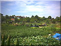
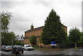
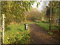
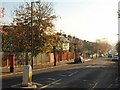
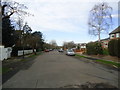
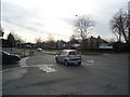
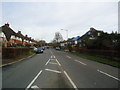
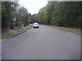
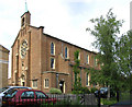
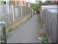
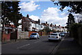
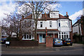
52 photos from this area
Area Information
Key information about the SW20 0SU including its size, population, and administrative classification.
- Area Type
- Postcode
- Area Size
- 8969 m²
- Population
- 1505
- Population Density
- 2771 people/km²
House Prices in SW20 0SU
16
Properties
£945,682
Average Sold Price
£275,000
Lowest Price
£1,585,000
Highest Price
Showing 16 properties
| Address | Type | Beds | Baths | Last Sale Price | Last Sale Date | |
|---|---|---|---|---|---|---|
| 149 Copse Hill, Wimbledon, SW20 0SU | Retail | 5 | 3 | £1,585,000 | May 2022 | |
| 141 Copse Hill, Wimbledon, SW20 0SU | Semi-detached | 4 | 1 | £1,090,000 | Apr 2018 | |
| 135 Copse Hill, Wimbledon, SW20 0SU | Semi-detached | 5 | 2 | £1,300,000 | Mar 2017 | |
| 131 Copse Hill, Wimbledon, SW20 0SU | Detached | 4 | 3 | £1,240,000 | Oct 2016 | |
| 145 Copse Hill, Wimbledon, SW20 0SU | Semi-detached | 6 | - | £1,262,500 | Jul 2015 | |
| 155 Copse Hill, Wimbledon, SW20 0SU | Semi-detached | 3 | 1 | £960,000 | Jun 2014 | |
| 147 Copse Hill, Wimbledon, SW20 0SU | house | 5 | - | £905,000 | Aug 2011 | |
| 151 Copse Hill, Wimbledon, SW20 0SU | Detached | 5 | 4 | £945,000 | Mar 2011 | |
| 153 Copse Hill, Wimbledon, SW20 0SU | Detached | 6 | 4 | £499,999 | Jul 2003 | |
| 133 Copse Hill, Wimbledon, SW20 0SU | house | 4 | 1 | £340,000 | Aug 1999 |
Page 1 of 2
Energy Efficiency in SW20 0SU
Amenities
Schools
| Rank | School | Type | Entry gender | Ages |
|---|
Explore more schools in this area
Go to Schools tabDemographics
Household Size
Family (3-5 people)
most common
Accommodation Type
Houses
most common
Tenure
79
majority
Ethnic Group
White
most common
Religion
N/A
most common
Household Composition
N/A
most common
Age
47
median
Adults (30-64 years)
most common
Household Deprivation
N/A
with no deprivation
NS-SEC
56
in Lower managerial occupations
Explore more demographic insights in this area
Go to Demographics tabPlanning
Planning Constraints
- Flood RiskPremium
- Ramsar Wetland SitesPremium
- Area of Outstanding Natural BeautyPremium
- Protected Nature ReservePremium
- Protected WoodlandPremium