Area Overview for SW20 0AA
Photos of SW20 0AA
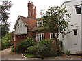
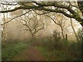
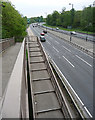
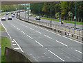
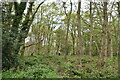
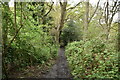
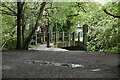
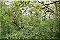
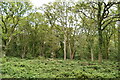
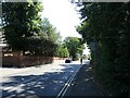
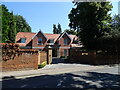
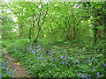
53 photos from this area
Area Information
Key information about the SW20 0AA including its size, population, and administrative classification.
- Area Type
- Postcode
- Area Size
- 20.8 hectares
- Population
- 1333
- Population Density
- 1140 people/km²
House Prices in SW20 0AA
9
Properties
£884,938
Average Sold Price
£179,750
Lowest Price
£1,200,000
Highest Price
Showing 9 properties
| Address | Type | Beds | Baths | Last Sale Price | Last Sale Date | |
|---|---|---|---|---|---|---|
| 213 Robin Hood Way, Coombe, London, SW20 0AA | Semi-detached | 5 | 5 | £1,200,000 | Jul 2023 | |
| 207 Robin Hood Way, Coombe, London, SW20 0AA | Retail | 4 | 2 | £1,060,000 | Sep 2022 | |
| 203 Robin Hood Way, Coombe, London, SW20 0AA | house | - | - | £1,100,000 | Jun 2009 | |
| 211 Robin Hood Way, Coombe, London, SW20 0AA | Semi-detached | - | - | £179,750 | Jan 1995 | |
| 209 Robin Hood Way, Coombe, London, SW20 0AA | Detached | 4 | 2 | - | - | |
| 205 Robin Hood Way, Coombe, London, SW20 0AA | Detached | 4 | 1 | - | - | |
| 199 Robin Hood Way, Coombe, London, SW20 0AA | Detached | 4 | 2 | - | - | |
| 201 Robin Hood Way, Coombe, London, SW20 0AA | Semi-detached | 4 | 2 | - | - | |
| Clubhouse, Colliers Wood United Football Club, Robin Hood Way, Kingston Vale, SW20 0AA | Leisure | - | - | - | - |
Energy Efficiency in SW20 0AA
Amenities
Schools
| Rank | School | Type | Entry gender | Ages |
|---|
Explore more schools in this area
Go to Schools tabDemographics
Household Size
Family (3-5 people)
most common
Accommodation Type
Houses
most common
Tenure
75
majority
Ethnic Group
White
most common
Religion
N/A
most common
Household Composition
N/A
most common
Age
47
median
Adults (30-64 years)
most common
Household Deprivation
N/A
with no deprivation
NS-SEC
50
in Lower managerial occupations
Explore more demographic insights in this area
Go to Demographics tabPlanning
Planning Constraints
- Flood RiskPremium
- Ramsar Wetland SitesPremium
- Area of Outstanding Natural BeautyPremium
- Protected Nature ReservePremium
- Protected WoodlandPremium